|
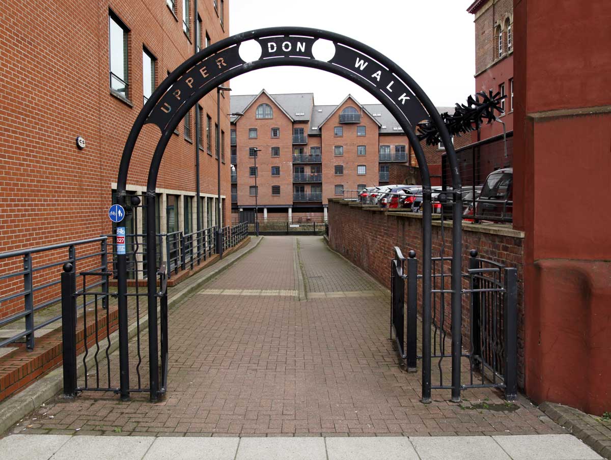
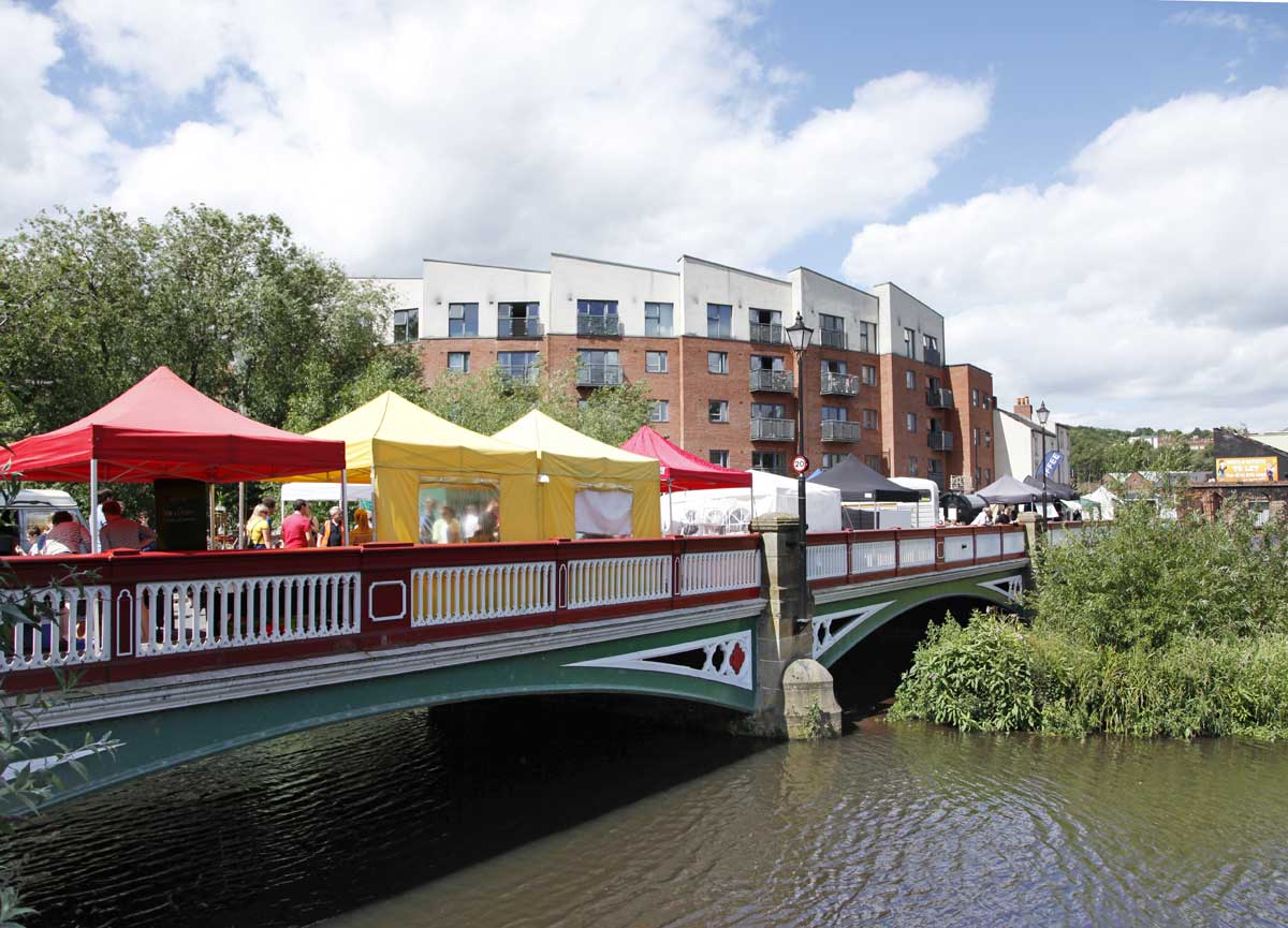
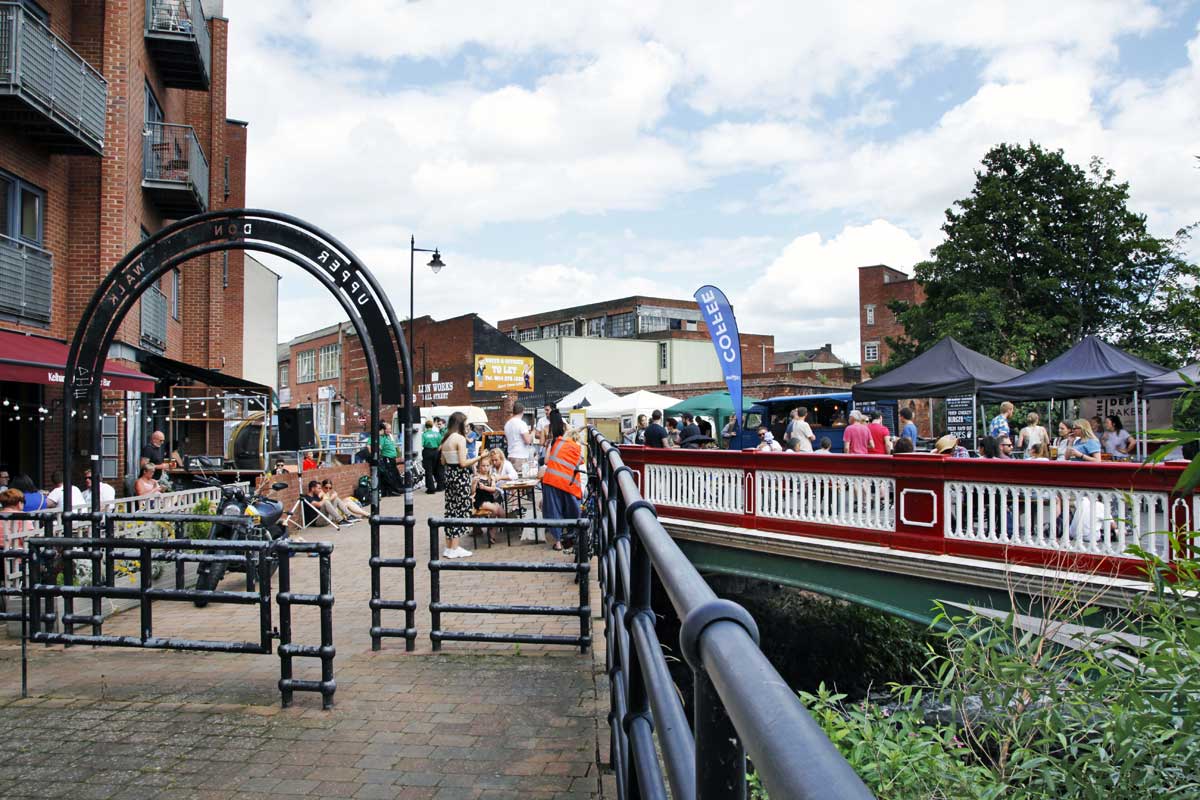
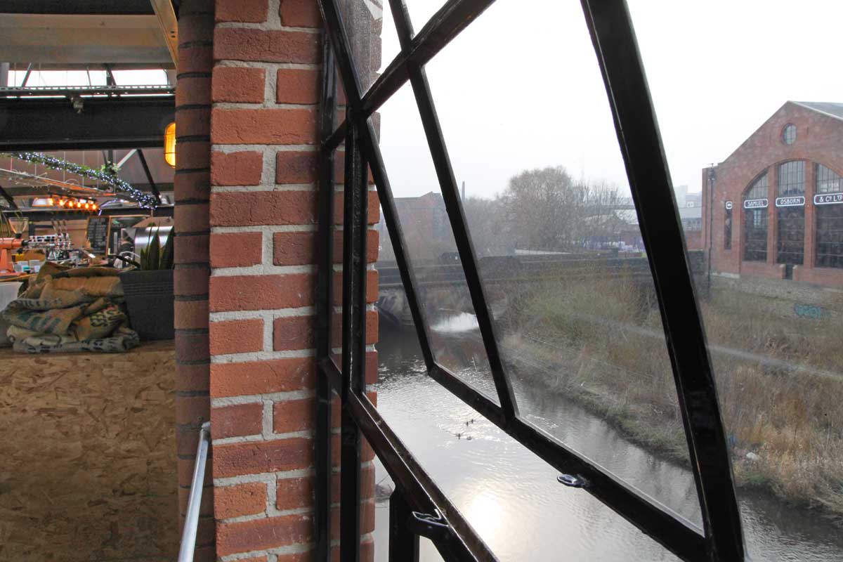
The entrance to the Upper Don Walk through Riverside Exchange
On the opposite side of the river are the apartments of Central Wharf built in 2002 |
The
River Don flows into Sheffield from the north-west and the Upper Don
Walk is a 3 mile stroll upriver from Lady's Bridge in the city centre
to Wardsend Cemetery at the foot of Shirecliffe. It is a modern walk
in the sense that it appears on maps, is listed in Wikipedia and is
commenced by entry through an arched gateway proclaiming its name. It
is the opposite of a drift, it is designated leisure.
This
sequence of photographs follows the river in a more rambling way,
covering the margins and picturing some of its recent history as well
as current developments.
The
Upper Don in Sheffield has been an industrial river. The liquid
history of this stretch is different from some riverine landscapes in
that it is not spectacularly beautiful, or with a history of
navigation and trade, but instead it has a past of production, of
brewing, milling and steelmaking.
The
decline of those industries over the last 50 years has changed the
river and its environment completely. By the end of the 1980s the
areas that make up the walk- Riverside, Kelham and Neepsend- were
largely neglected with a number of empty or derelict, if impressive,
buildings.
The
gradual commercial redevelopment of the city centre plus the
increased demand for housing in central areas has regenerated tracts
of the riverbank and there now seems to be sufficient
economic/cultural momentum to revive the whole 3 mile stretch. Kelham
was voted Neighbourhood of the Year 2018 in a national poll, the
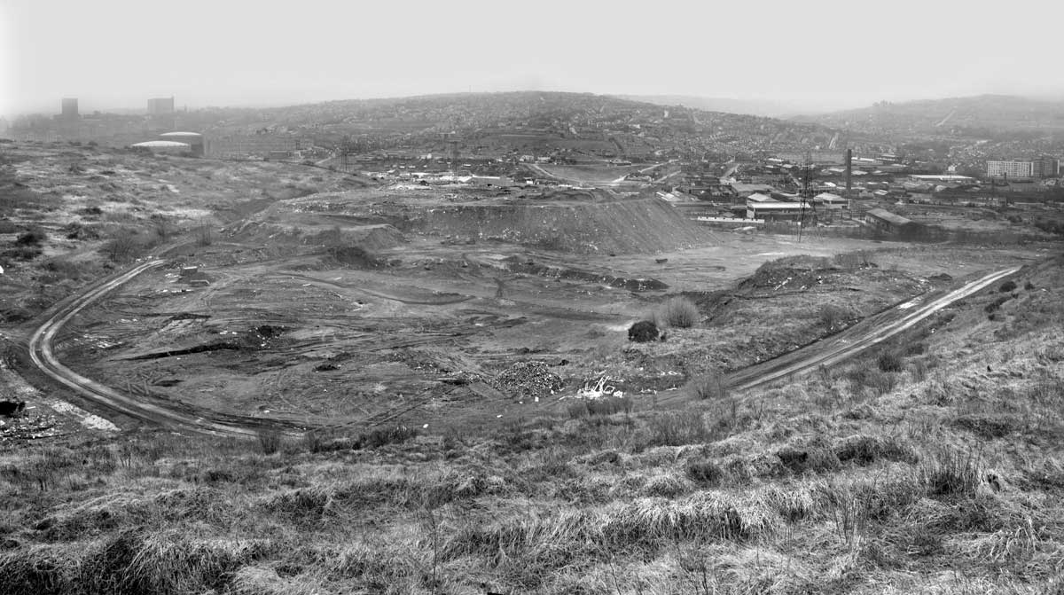
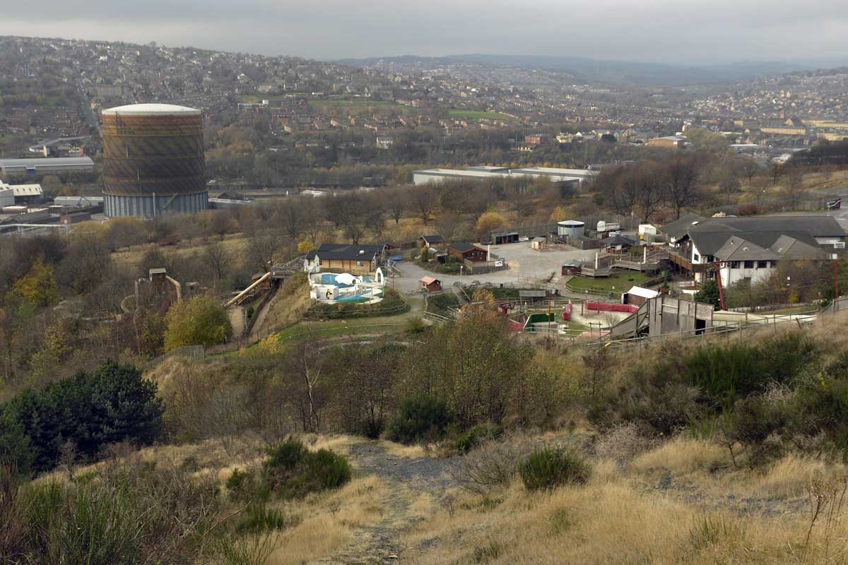
landfill site at Parkwood Springs has been closed and a plan for its
reopening as public space is expected, the derelict ski village of the 1980s has
been cleared and the site is to be redeveloped as an Extreme Sports
Centre, while Wardsend Cemetery is planned to become a 'Heritage
Park'.
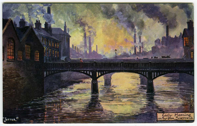 |
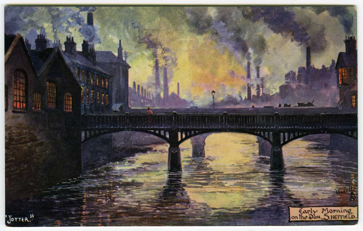
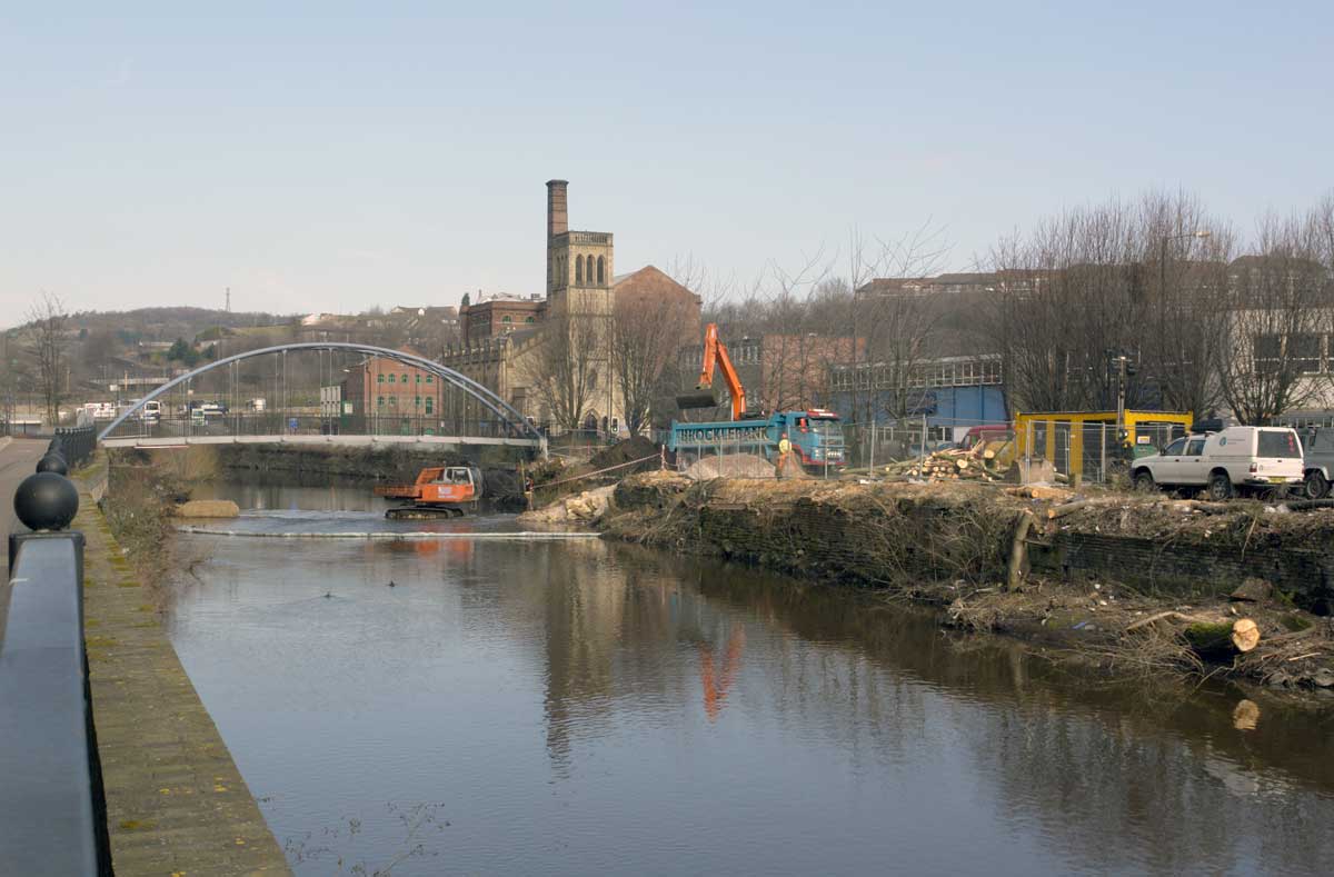
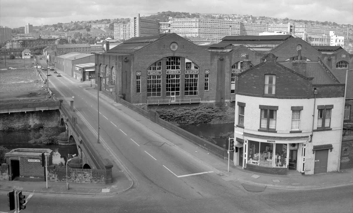
A well known view of Sheffield looking upstream from what is today's Riverside area into Kelham.
In
the foreground is pedestrian bridge of 1841 by the ironmasters
whose notable work includes the overall roof of York railway station.
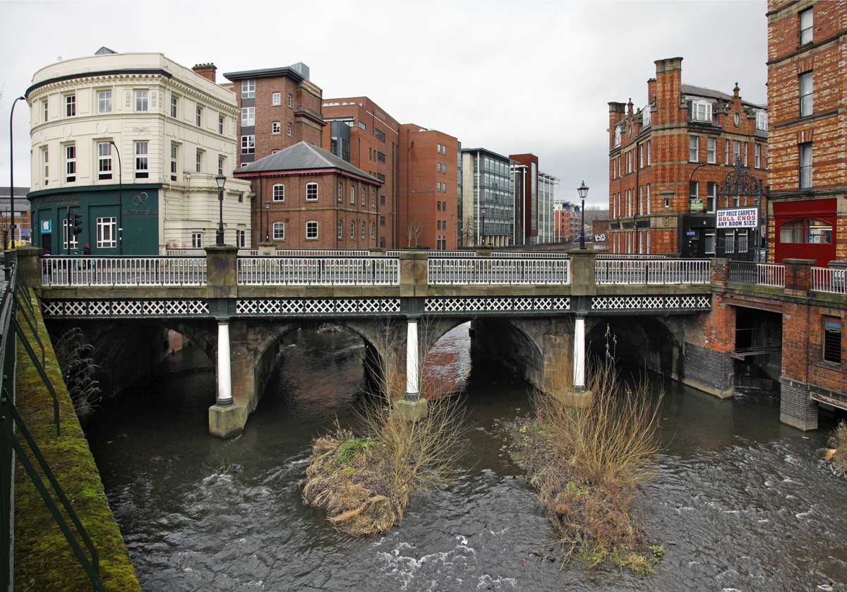
Immediately behind it Borough Bridge of 1853.
Both bridges still span the river in 2019
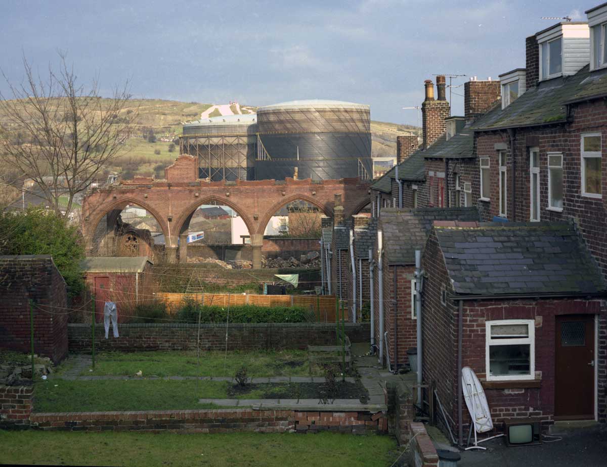
From a Tucks postcard of the early twentieth century. |
 |
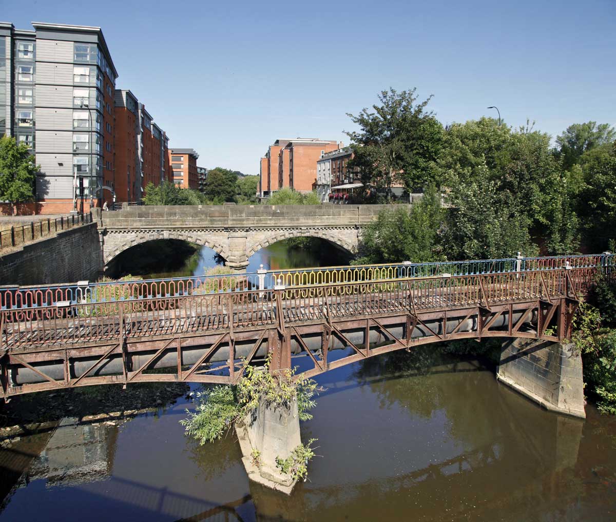
| Looking across the two bridges in 2018. |
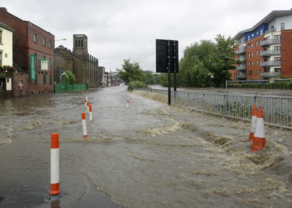
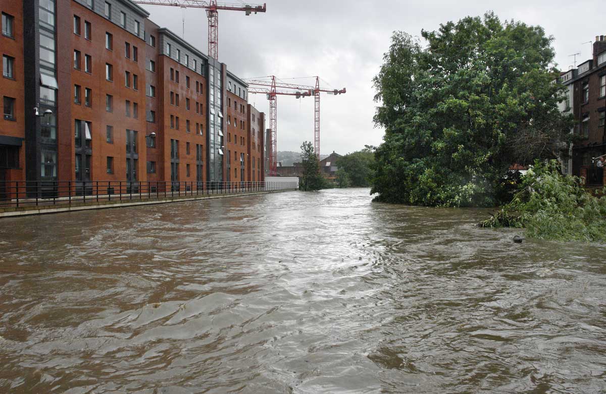
If
the land along the river has been slowly changing then the river
itself came back to prominence more suddenly in 2007. Sheffield was
flooded in 1864 when a dam above the Loxley, a tributary of the Don,
collapsed, killing nearly 300 people. However the topography of the
city is such that under normal circumstances there was never
considered any prospect of the river bursting its banks.
Unfortunately, maintenance of the river had been neglected over a
considerable period of time and in June 2007 three weeks of prolonged
rainfall culminated in flooding along both the Upper Don and Lower
Don valleys.
Since
that time programmes of clearance and flood defence measures have
been put into place.
The following
four posts look, firstly, at the flood of 2007 and then the three
subsequent ones at the recent history of the valley as it pivots from a
place of work to one of domesticity and leisure.
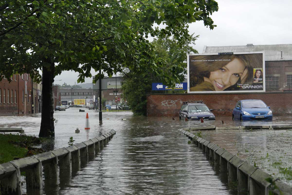
1.
The flood of June 2007
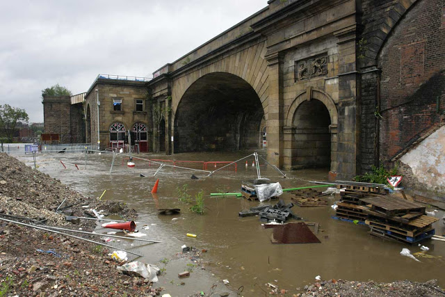 |
| The main Wicker Arch from the northern side on the afternoon 25th June 2007 |
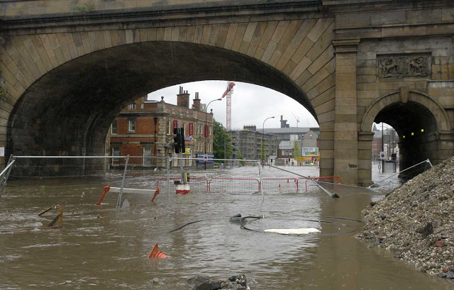 |
| Looking through the arch down The Wicker to Lady's Bridge |
 |
| Nursery Street with the river to the right. |
 |
| Looking downstream with 19th century iron bridge nearly submerged and the bridge carrying the Ring Road beyond. |
 |
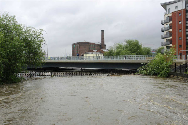
| Looking upstream from Borough Bridge, from Riverside into Kelham. |
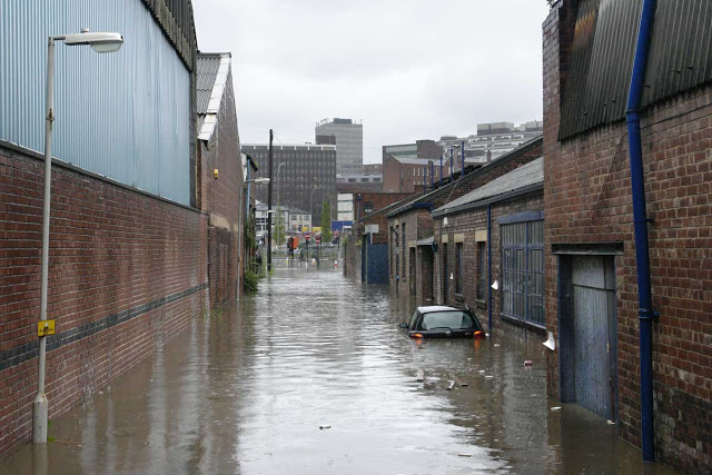 |
| Looking down Cotton Mill Row from Alma Street, Kelham towards West Bar |
 |
| Looking along Mowbray Street, Kelham. |
 |
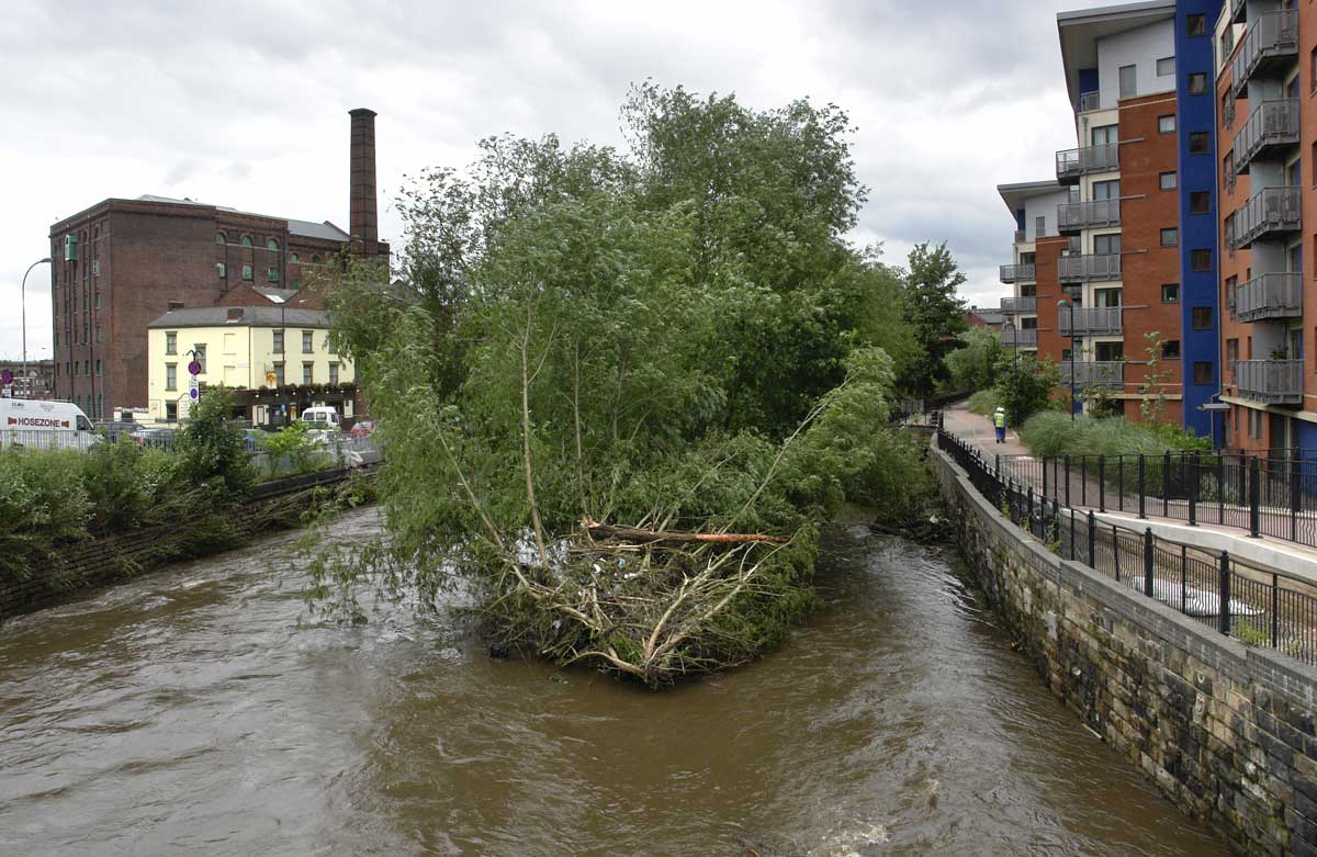
In the days after the river burst its banks debris was still accumulating along its course.
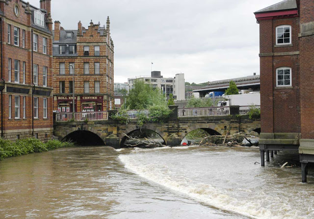
Looking downstream to Lady's Bridge. |
*******
 |
| Looking downstream towards Lady's Bridge, from the Ring Road, a few days after the flood. |
 |
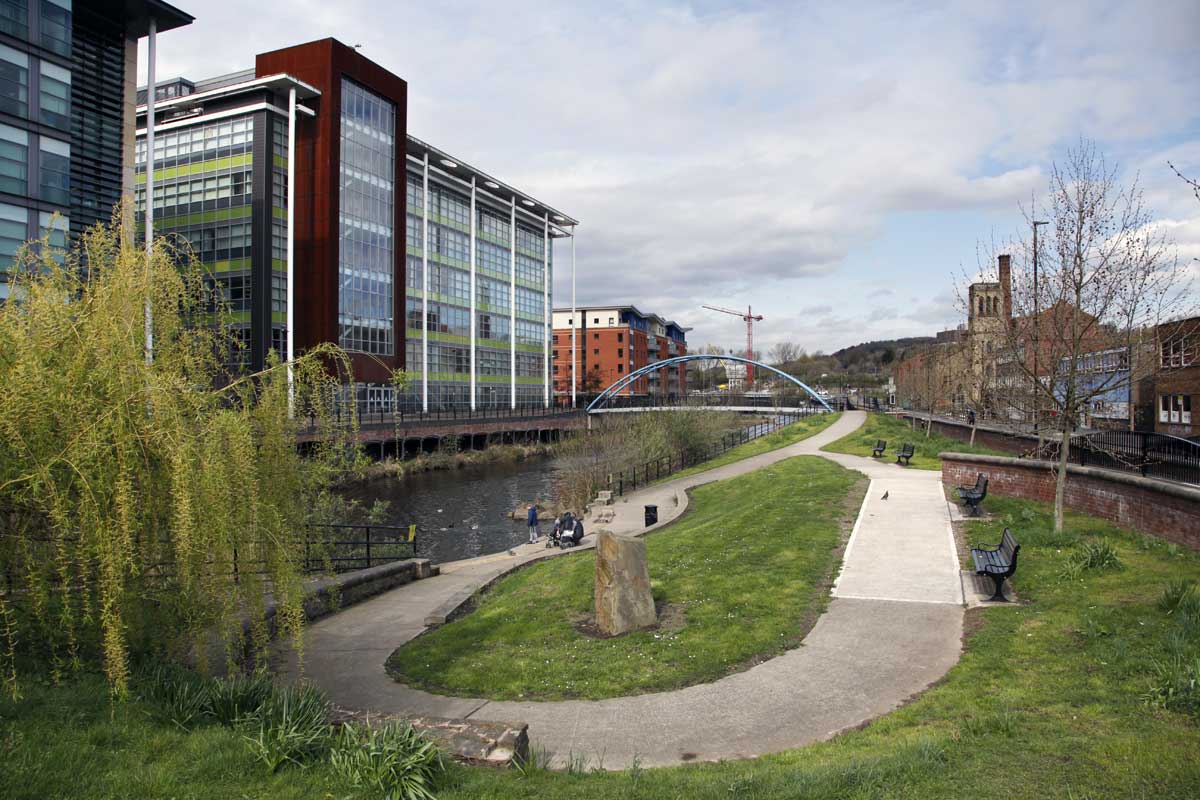
Looking downstream to Lady's Bridge from the Nursery Street footbridge in 2008.
The Riverside Exchange development is to the right. |
 |
Looking upstream to the Nursery Street footbridge.
Tree felling, flood defence construction and the creation of the small Nursery Street Park, 2010. |
 |
| Nursery Street Park, 2019. |
*******
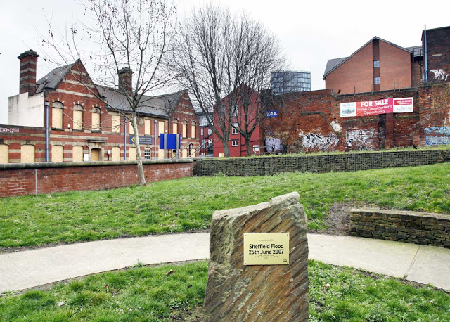 |
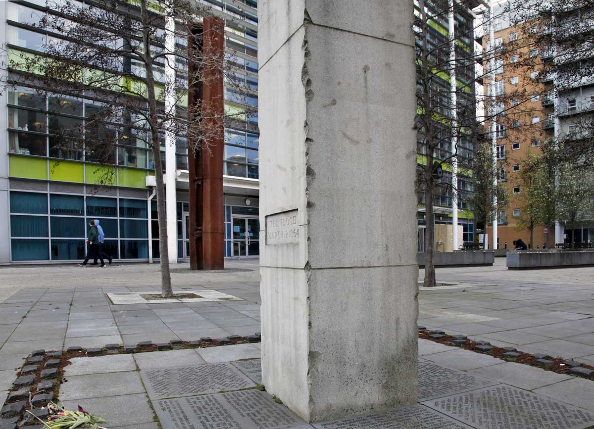
The flood monument in the Nursery Street Park, 2019.
The former Coroner's Court, boarded up, is on the left.
Commercial
development on the northern side of the river does not at all match
that of the other bank (e.g. Riverside Exchange), a stone's throw
away. |
 |
Fire and water. In the foreground is the monument to the 1864 flood, listing the names of the dead.
In the background a sculpture celebrating the constituents that make up steels.
The river is just to the left here. Esteli Square, 2018. |
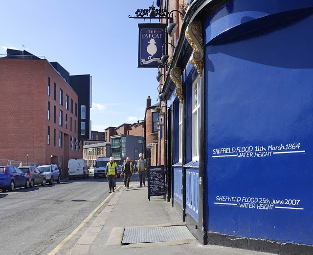 |
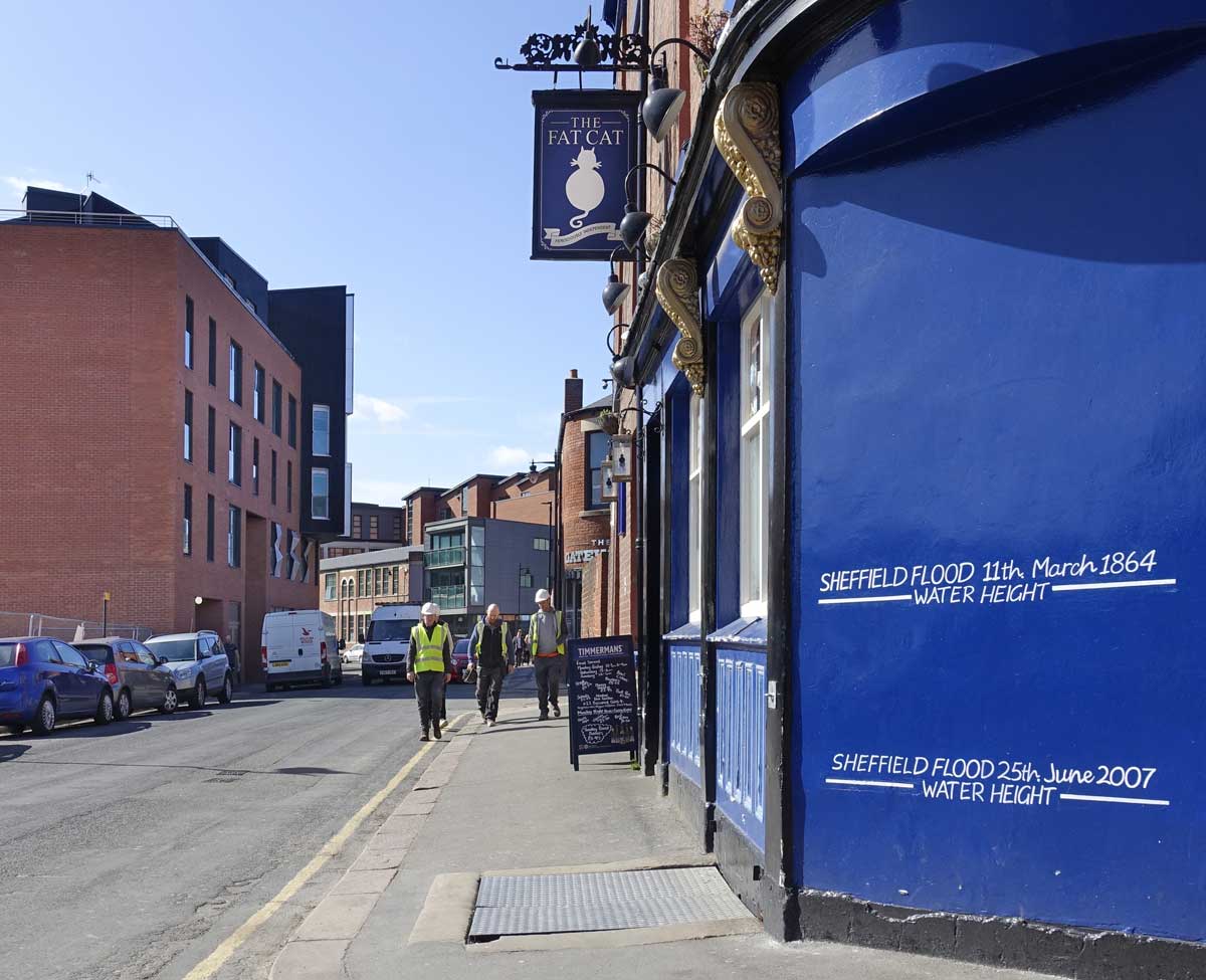
| A reminder of both Sheffield floods on the wall of the Fat Cat pub on Alma Street, Kelham. 2019. |
Mark
Cooper was a file cutter who perished in the flood of March 1864. His
is a story of the industrialisation of Sheffield and of this stretch of
the River Don.
By
1860 the rivers in and around Sheffield had become important not just
for power but for provision of clean drinking water for a rapidly
expanding population. To that end the city was building a series of
dams, to create reservoirs, including the Dale Dyke dam that collapsed
with such disastrous consequences in the early hours of 11 March 1864.
At
the same time increasing mechanisation had seen some manual trades
become redundant; by 1860 most file cutting was done by machine and Mark
Cooper found himself in the workhouse.
In
1864 the Sheffield workhouse was in the former cotton mill at Kelham
and some of the structure survives today. The workhouse was flooded but a
contemporary report suggests no-one drowned on the night and the name
of Mark Cooper does not appear on the list of flood victims compiled at
the time. His name does appear on the flood monument because he died
shortly afterwards of either infection or injury sustained as a direct
result of the flood. I'm unclear as to what exactly happened to him or
indeed whether he was in the workhouse that night. I'll update this as
soon as I can find out.
Be
that as it may, he was buried on the 4 May 1864 at Wardsend cemetery.
This May 4 (2019) I walked up to Wardsend intending to find the site of
his interment, although how it was marked, if at all, I don't know. The
record of his plot location is clear enough but the area is now so
overgrown that finding any trace of his grave proved too difficult.
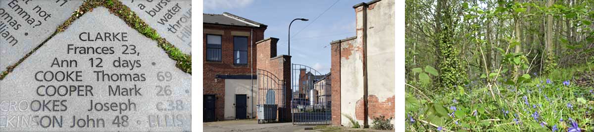
The
three pictures below show:- his name on the flood monument, the yard of
what in 1864 was the Sheffield workhouse (looking toward the 'Fat Cat'
pub) and the area of Wardsend where his body lies.
This synopsis compiled from a number of publicly available sources including, with thanks,
The research of Karen Lightowler, The Friends of Wardsend Cemetery and Kelham Island Industrial museum.
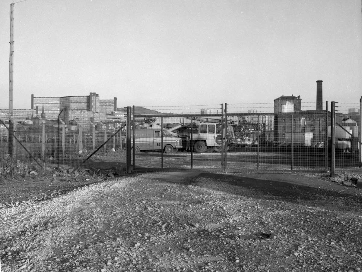
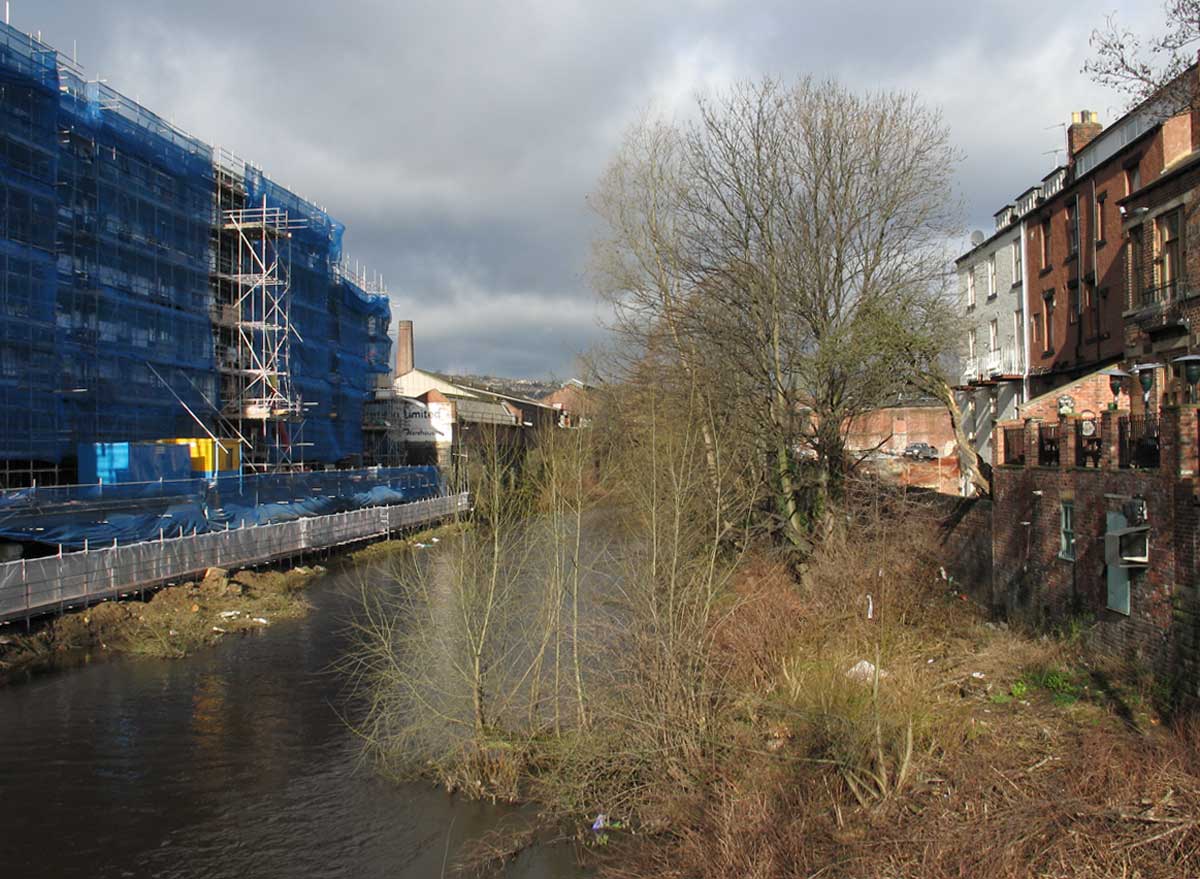
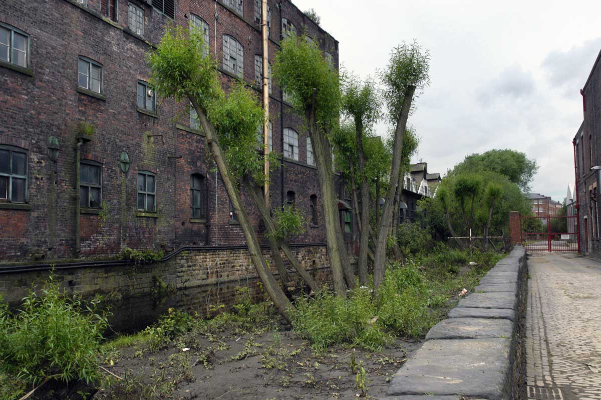
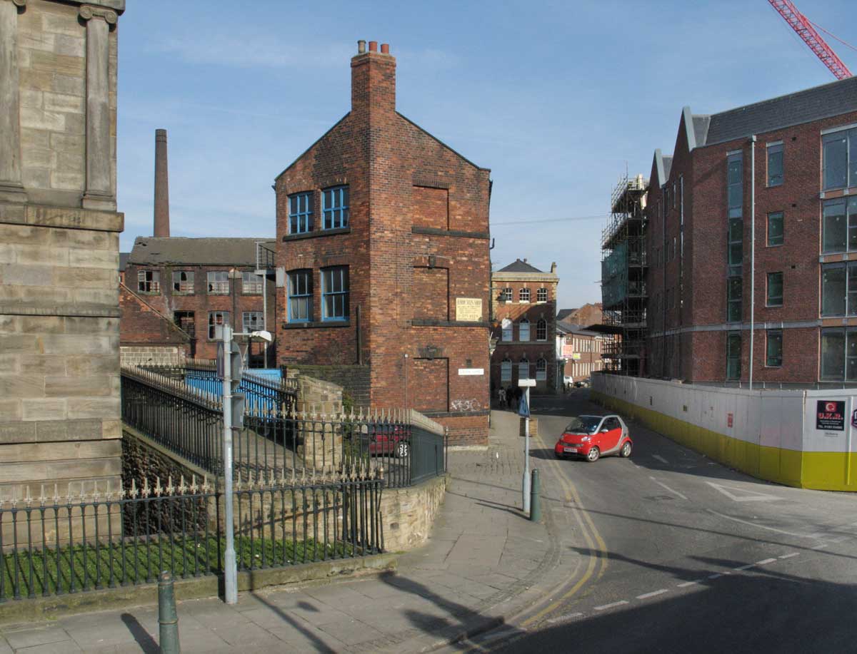
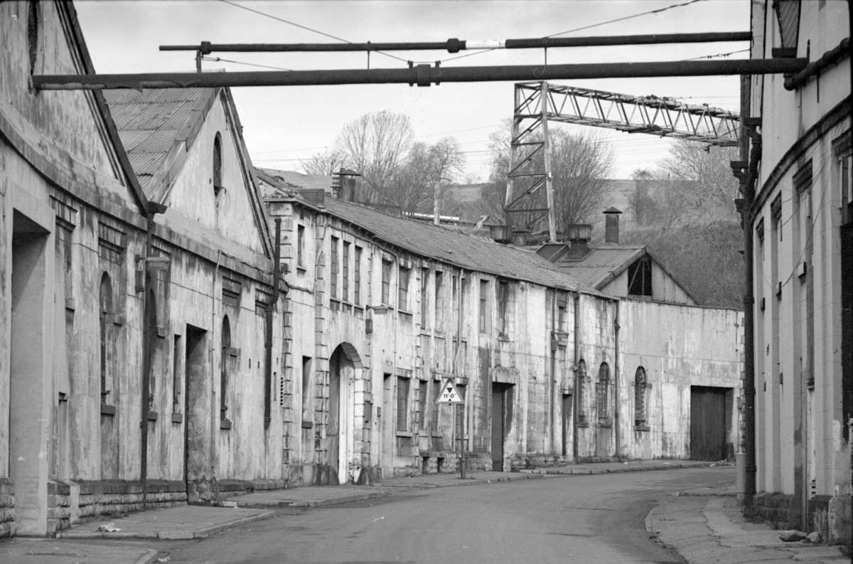
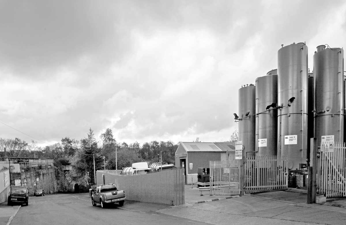
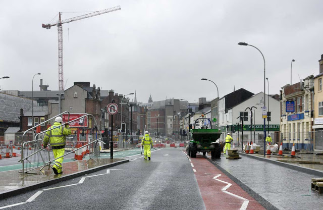
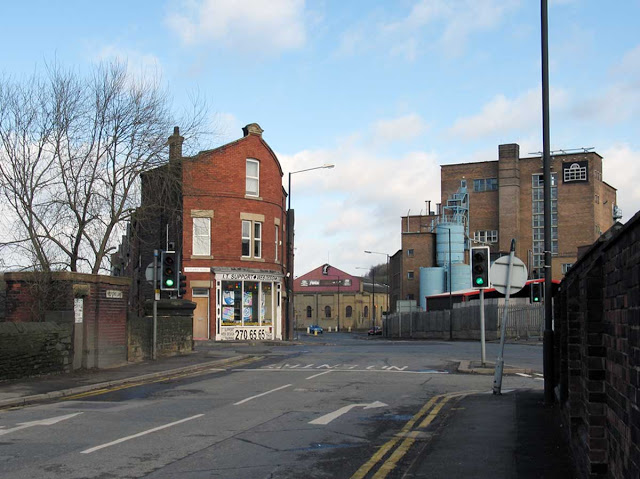
Riverside
is the modern name devised for an area, about half a kilometre square, from the Wicker Arches to West
Bar, running as far as Borough Bridge with the railway line marking
its northern boundary.
Today
the area is a tale of two riverbanks. To the south, once the home of
Exchange Brewery and Millsands steelworks, the riverside has been
comprehensively redeveloped with offices and flats. On the northern
bank the Inner Ring Road (2008) has been driven through the long
cleared site of Bridgehouses station, while many of the remaining
buildings are occupied by some variety of the metal or engineering
trades or stand empty.
 |
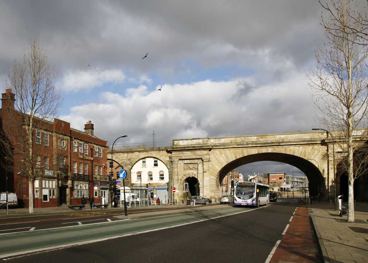
The Wicker 2019
The
Wicker has long been an iconic location in Sheffield featuring in many
of the more nostalgic images of the city. On the left is the former
Station Hotel and on the right the entrance to the now demolished
Victoria station. The railway is carried on 40 arches of which this is
the main span, built by the M.S.& L. Railway in 1848. |
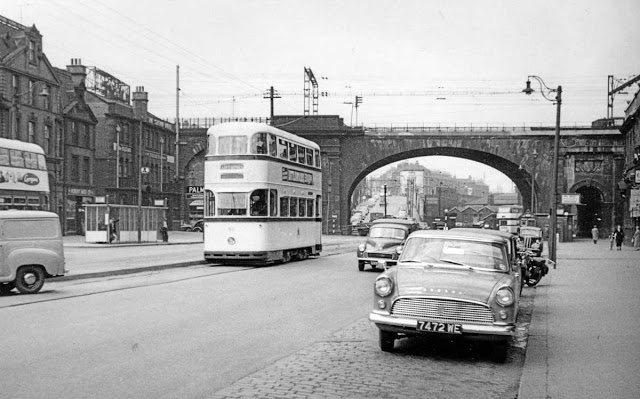 |
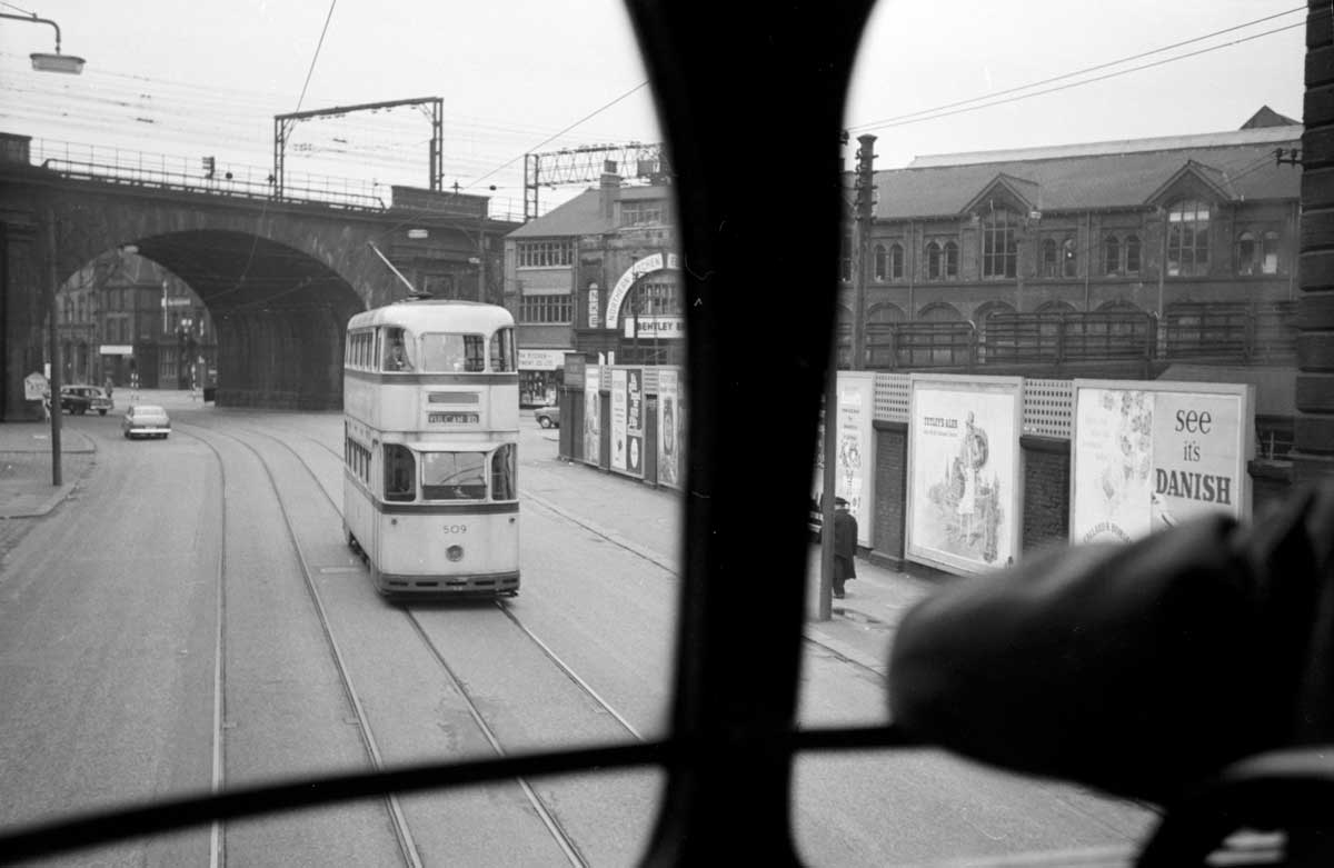
| The Wicker 1959 |
 |
The Wicker arch circa 1959
The north side of the arch from Savile Street
35mm negative. Photographer unknown. |
 |
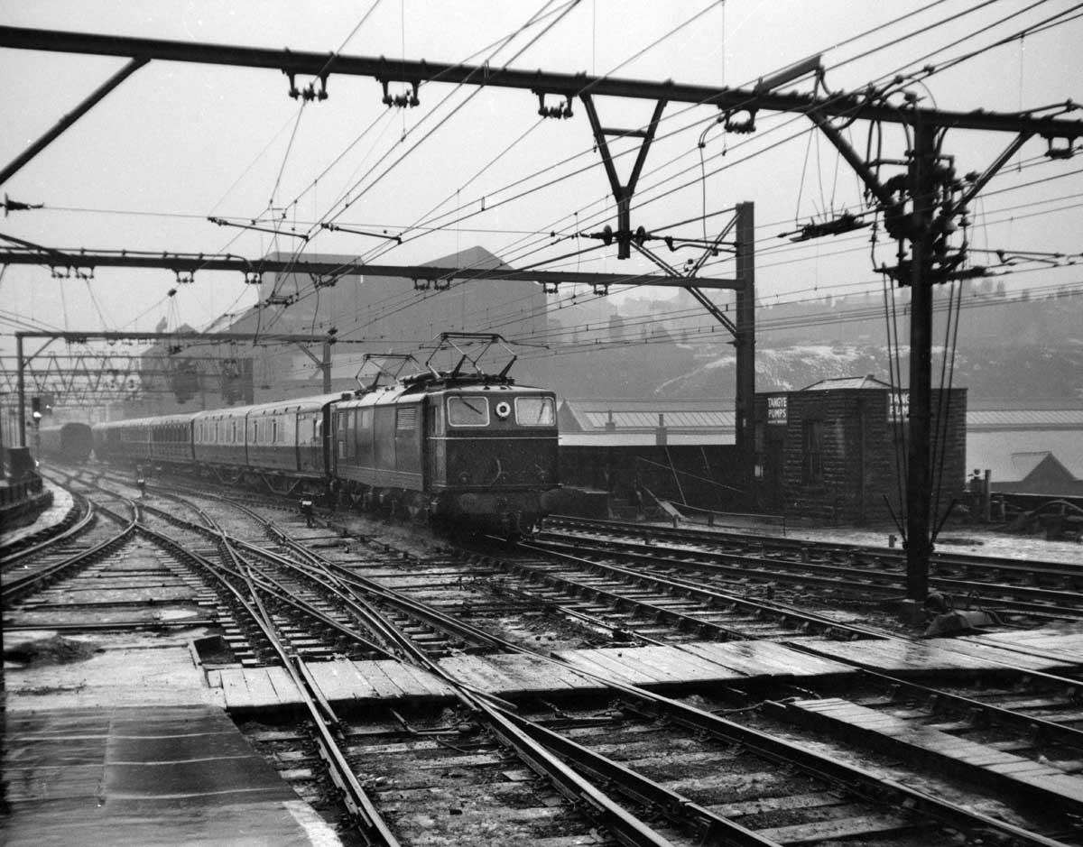
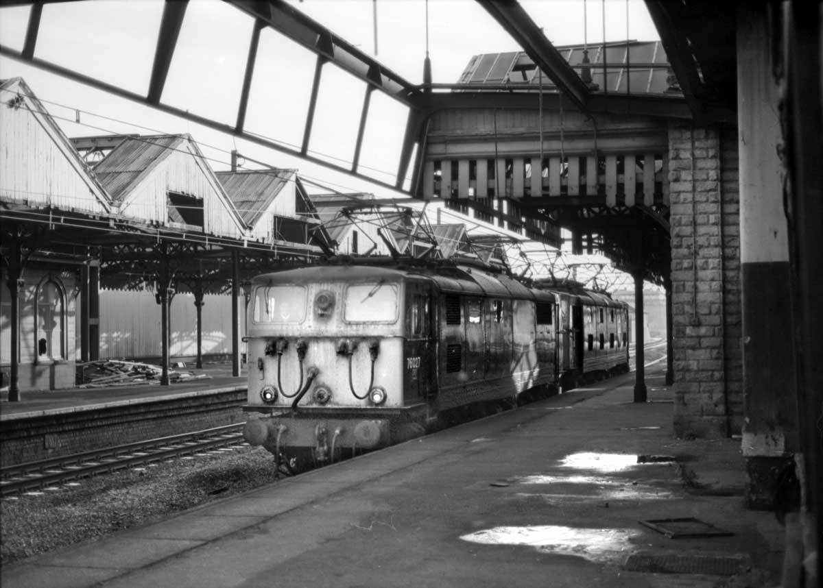
A passenger train crosses the Wicker and enters Victoria station. 1950s.
Wigfull's flour mill is on the right.
Roll film negative. Photographer unknown. |
 |
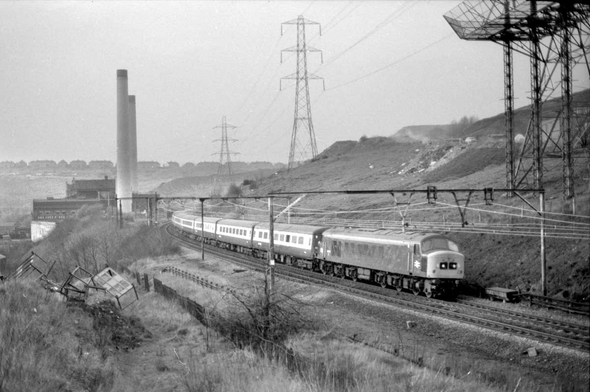
Passenger
services were withdrawn from Victoria station in 1970 but the line
remained open for the heavy coal traffic generated by the local
coalfields. The station meanwhile was left to decay.
Two EM1 freight locomotives pass through the derelict platforms, 1970s.
35mm negative. Photographer unknown.
|
 |
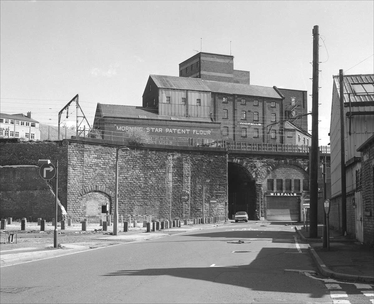
| Wigfull's flour mill in 1981. It was demolished following a fire in 1989. |
 |
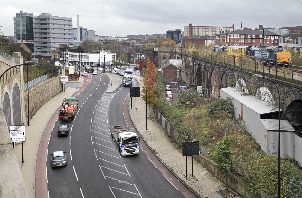
Looking
from the ground on which Wigfull's mill once stood. It was excavated to
provide for the construction of this link to the Inner Ring Road.
To
the right the railway still runs on the 1848 arches although it's now
much truncated and takes traffic only as far as the Stocksbridge
steelworks. A Network Rail test train heads north. 2011. |
 |
| The Wicker in 2007 with the connection to the Inner Ring Road nearing completion. |
*******
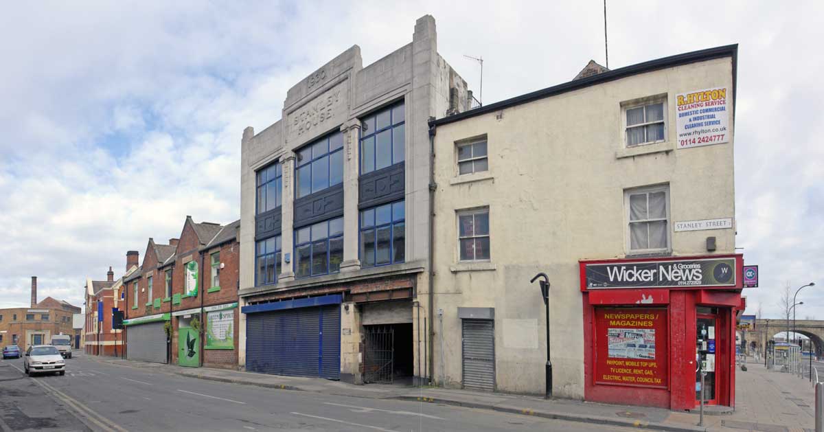
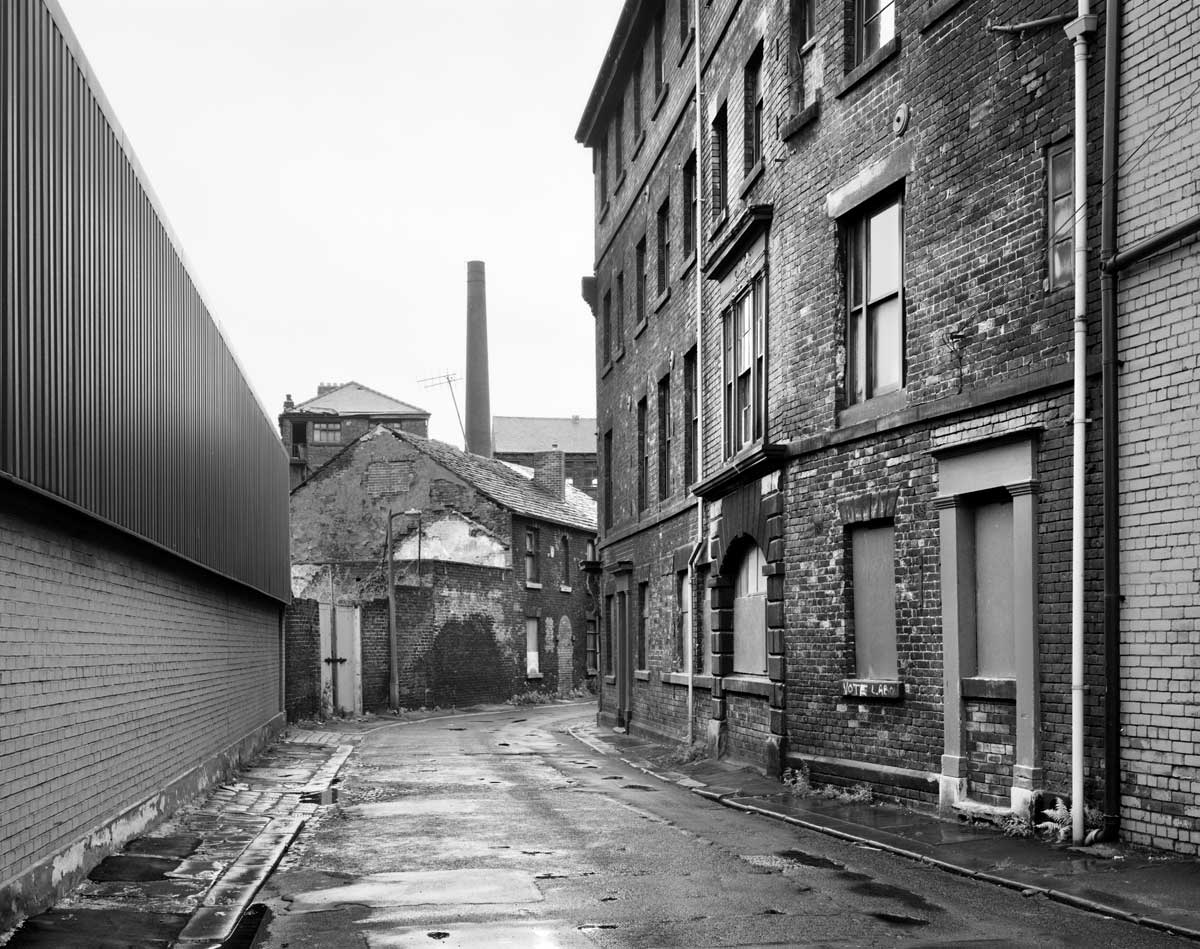
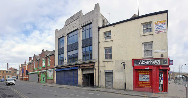 |
| Stanley Street 2010. |
 |
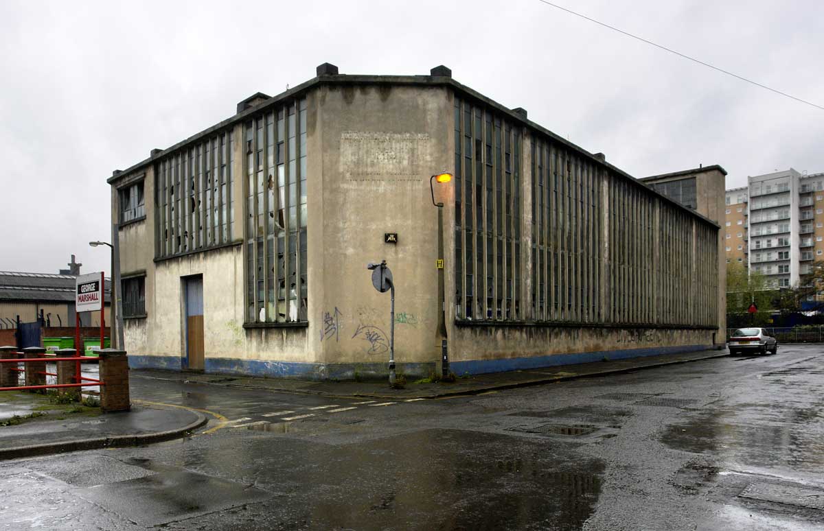
| Johnson Street 2008. |
 |
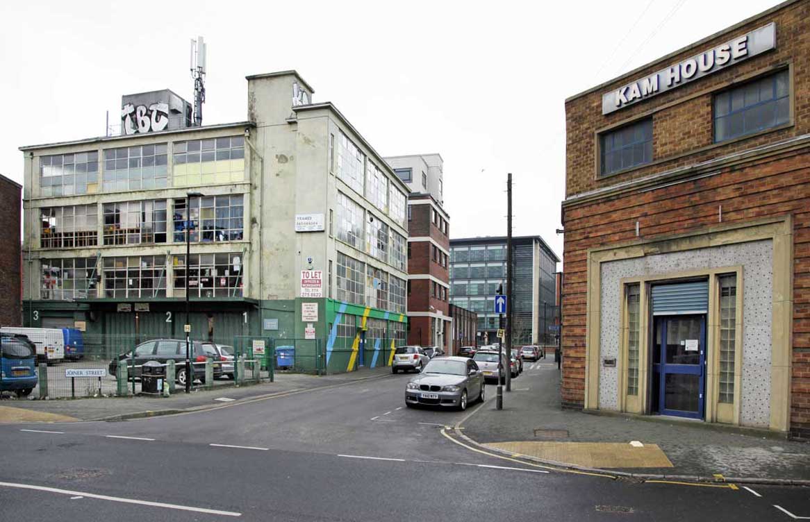
| Joiner Street 2018. |
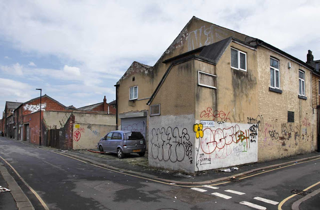 |
| Gun Lane, 2019 |
 |
| The north bank opposite Riverside Exchange. |
*******
 |
| Lady's Bridge looking upstream 2019 |
*******
 |
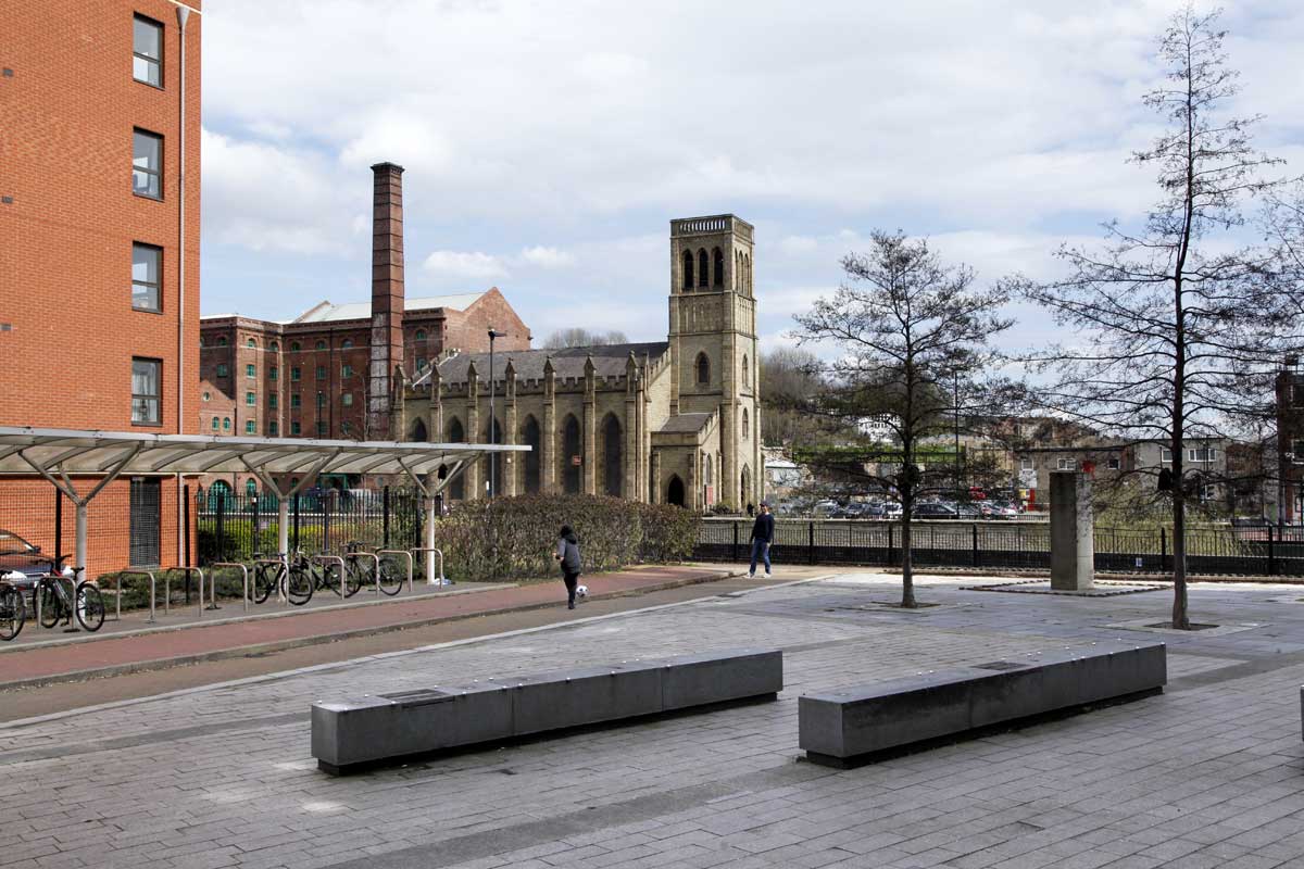
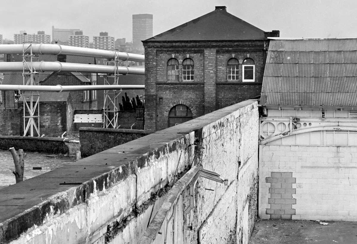
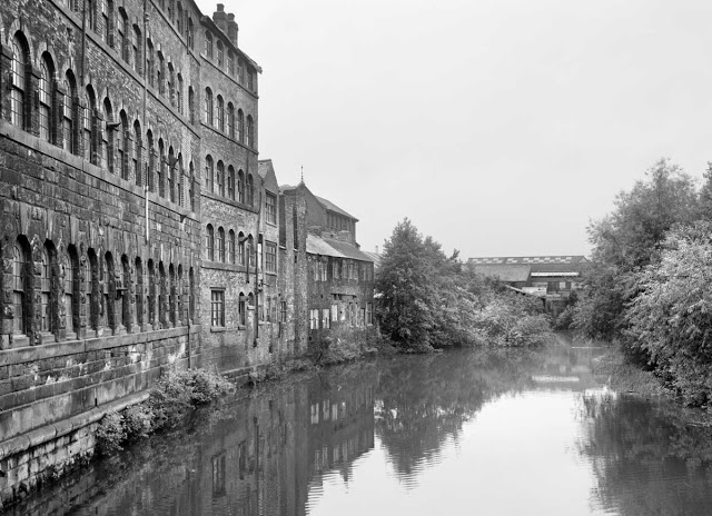
Looking across the river from Esteli Square to Holy Trinity church and Aizlewood's mill, 2019.
Formerly the site of industrial premises including Millsands steelworks. |
 |
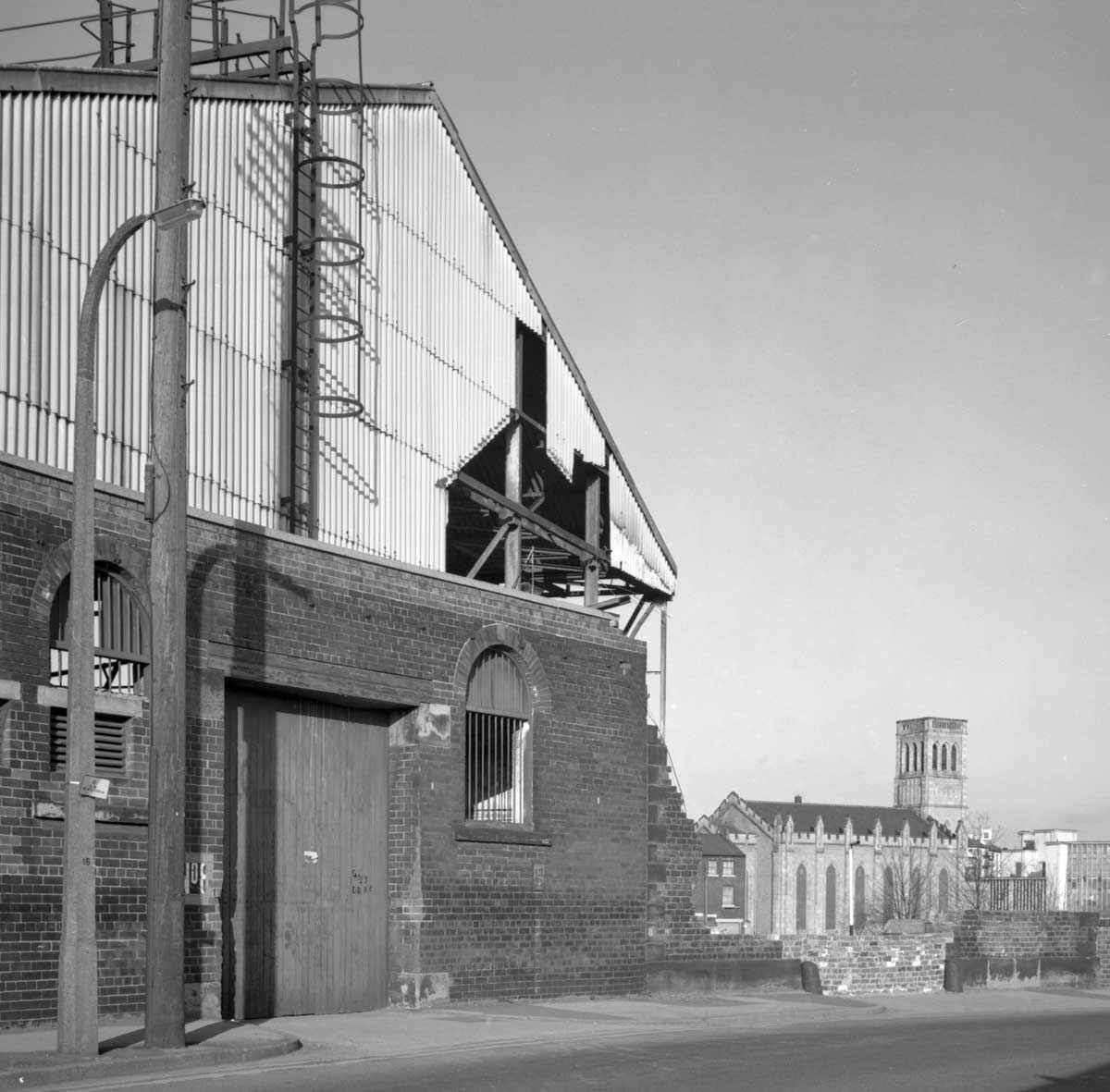
| Holy Trinity church seen during the demolition of Millsands steelworks, 1984-5. |
 |
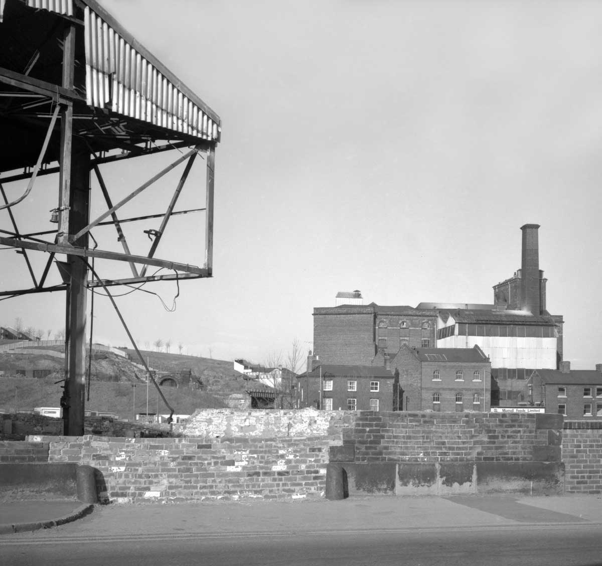
| Millsands
steelworks during demolition. taken looking across the river to
Aizlewood's Mill (b. circa 1870 and now converted to offices).
1984-5 |
*******
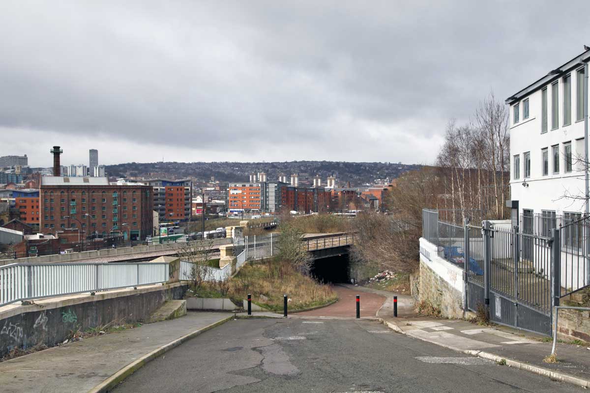
Bridgehouses
railway station occupied a large area of what is now known as the
Riverside Quarter. It was built in 1845 as the original terminus of the
line from Manchester and when Victoria station was completed in 1851 it
became a goods station. It closed in 1963 and after a number of years
standing empty was demolished in the 1970s, its substantial retaining
walls dismantled and the ground on which it stood excavated.
 |
| Looking
across the former Bridgehouses railway site in 1981. This was the
western throat of the yard but by this time all the tracks had been
lifted and the buildings razed. The land originally ran at this level to
Aizlewood's mill on the right of the picture which was joined at a high
level to the railway buildings. |
 |
| Looking across what was the Bridgehouses railway site with Aizlewood's mill on the left.. 2011. |
*******
 |
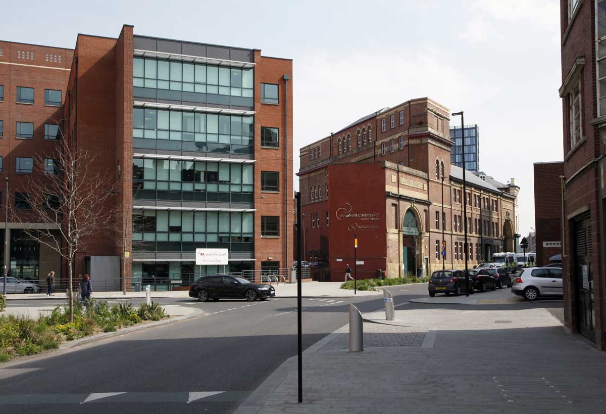
| Bridge Street,with the partially retained Exchange Brewery building and the office blocks of Riverside Exchange. 2019. |
 |
| Love
Square provides another entrance to the valley via a recently created
small park. It announces itself as the gateway to 'The Valley of Beer'
on the grounds that riverside industries both in the past and the
present include a number of breweries. 2018. |
 |
Love Street in 1992. Now demolished this small area contained a number of metal trades factories and workshops.
|
 |
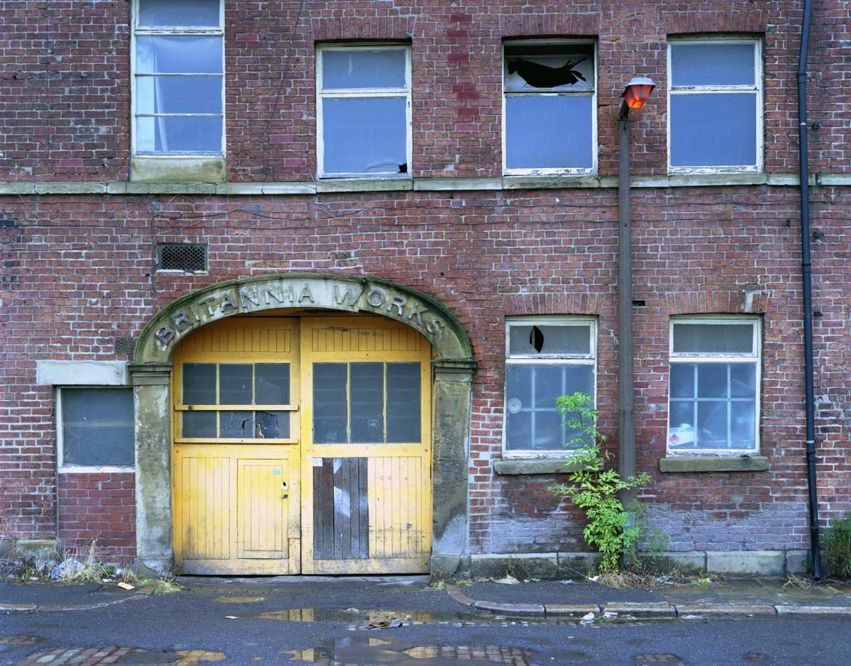
Britannia
Works, 1992 shortly before demolition. Originally home to electro-plate
manufacturers and later a confectionery factory.
Popular Sheffield painter Joe Scarborough made the building the subject of a work now owned by Sheffield Museums. |
 |
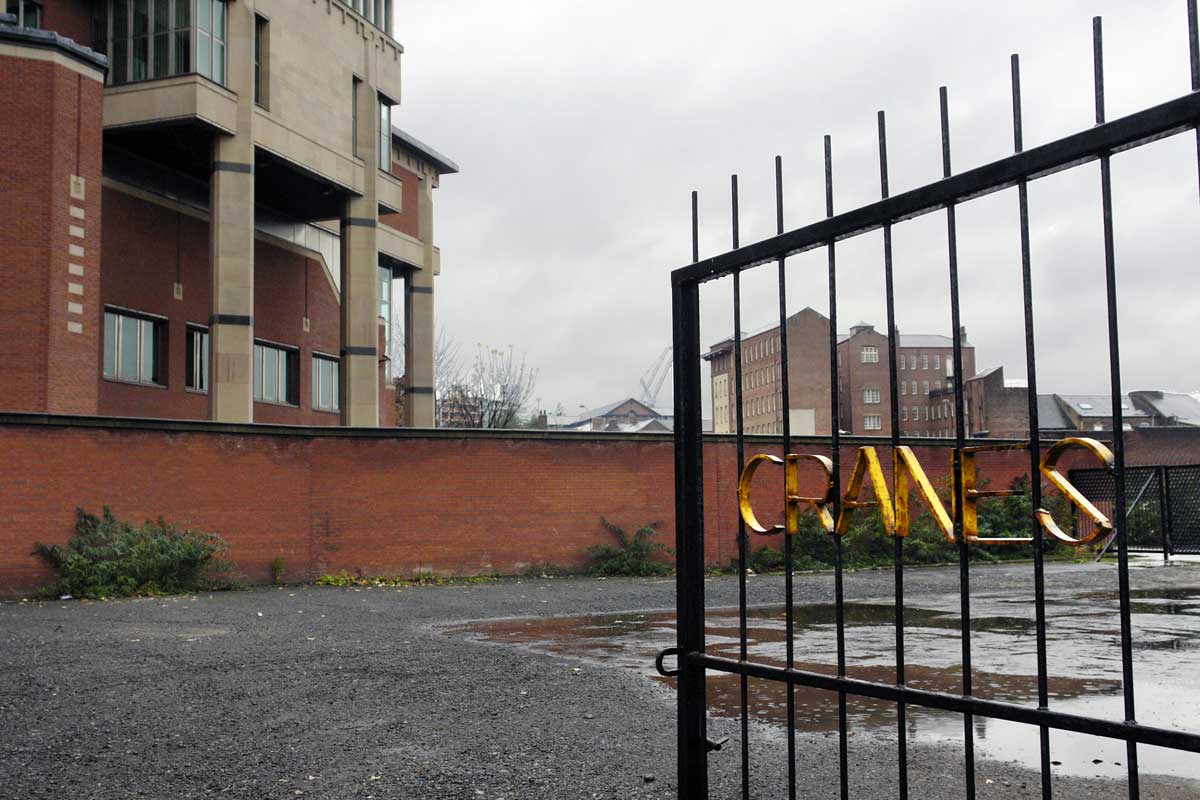
| A
former crane hire yard on Love Street with the rear of the Magistrates
Court (b.1978). 2008. The gates were removed shortly afterwards and the
land is now used for car parking. |
*******
 |
| Looking downstream 2018, with Aizlewood's Mill on the left. |
 |
Looking upstream at Corporation Bridge with Central Wharf and Brewery Wharf developments on the riverbank.
Municipal 'meadow planting' in the foreground.
2008. |
*******
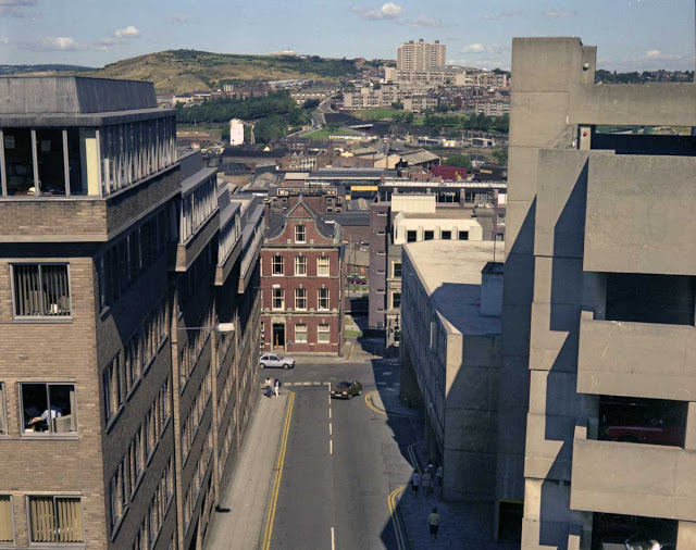 |
| Looking across the valley from the city centre to Bridgehouses and Pye Bank in 1981. |
*******
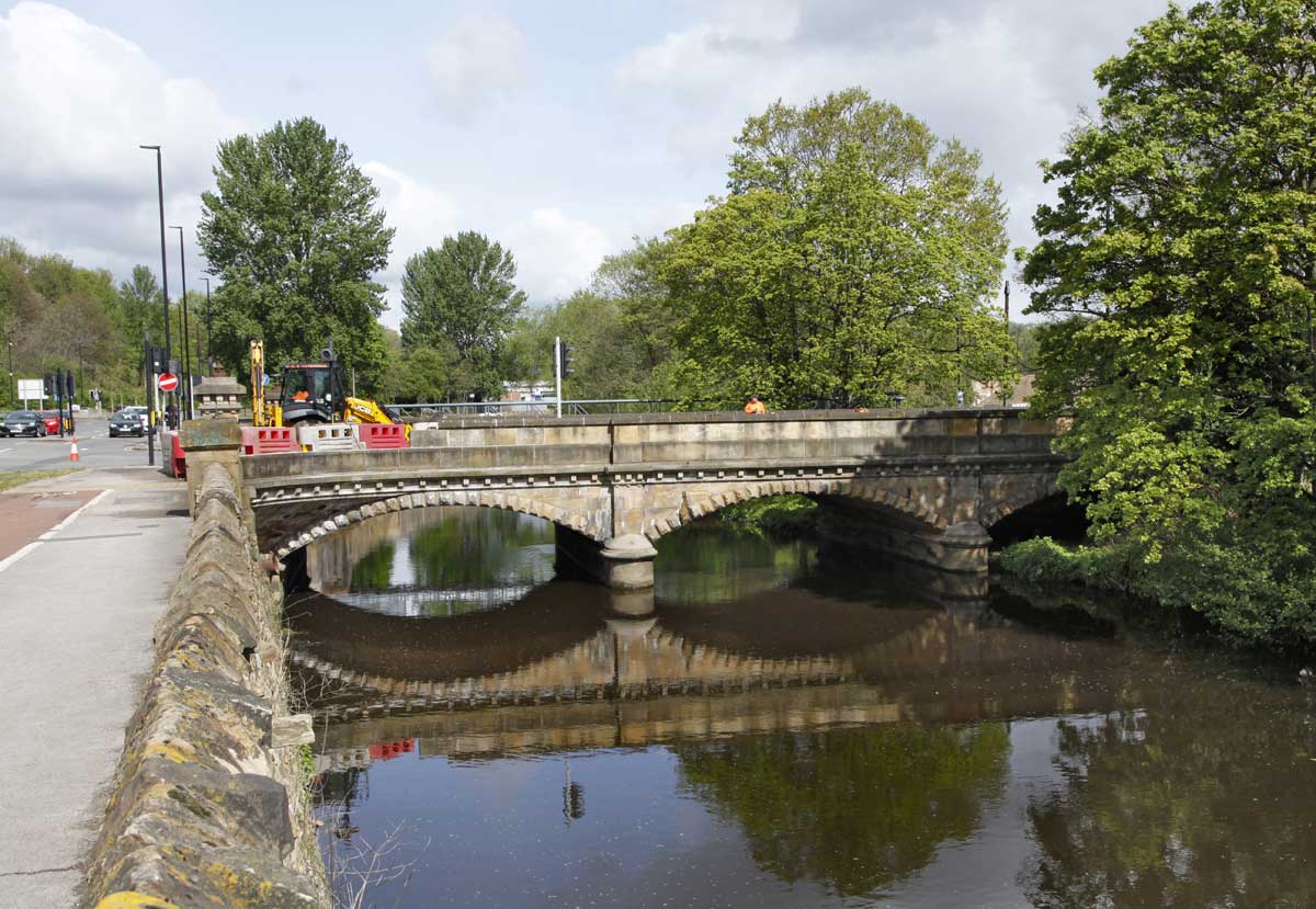
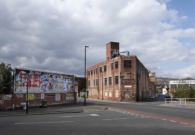
3.
Kelham
The
City Centre Plan describes Kelham as running from Borough Bridge to
Ball Street Bridge a distance of barely 400m. And in some ways it
makes more sense to consider the further 100m to Rutland Road Bridge
as part of the same neighbourhood, given that the current economic
and social changes apply equally. It is bounded to the west by
Shalesmoor and to the east by the stone ramparts of the railway line.
In
2018 the area was voted "Best Neighbourhood in the UK and Ireland"�
by the Academy of Urbanism. Lead assessor Tim Challans said "Local
Authority intervention has ensured the retention...of some long
standing small scale manufacturing industries and crafts and created
opportunities for cultural and creative industries and artists
studios to develop alongside those without creating tension."
Kelham
has gone from being an almost exclusively industrial area to a
neighbourhood of flats and apartments though the riverbank along
Mowbray Street and across to the railway line still supports the
light industry referred to.
Some
of the larger industrial buildings have been converted for
residential use and the area also houses the Kelham Island Industrial
Museum in a former generating station. The housing obviously caters
to a particular demographic and Kelham probably has a higher density
of good coffee to the square metre than anywhere else in the city.
I'm not sure what there is in the way of supporting infrastructure,
school, GP surgery etc. and not a lot of green space seems to have
been attempted.
The
Pevsner Architectural Guide to Sheffield (2004) described the
industrial buildings of Green Lane as "the most coherent stretch of
industrial landscape in inner Sheffield" and the notion of Heritage
has been key to the regeneration of the area, none of those buildings
now being in industrial use. For those of us who knew Kelham in the
1980s when the industry was in decline and many of the buildings
stood empty, the transformation is remarkable.
 |
| The view upriver from Borough Bridge in 2006 during the building of the flat complex on the western bank. |
 |
| The view upriver in 2018. |
*******
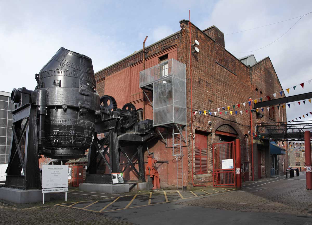
Kelham
Island Industrial Museum was opened in 1982, housed in the former
generating station that provided electricity for the Sheffield tram
system.
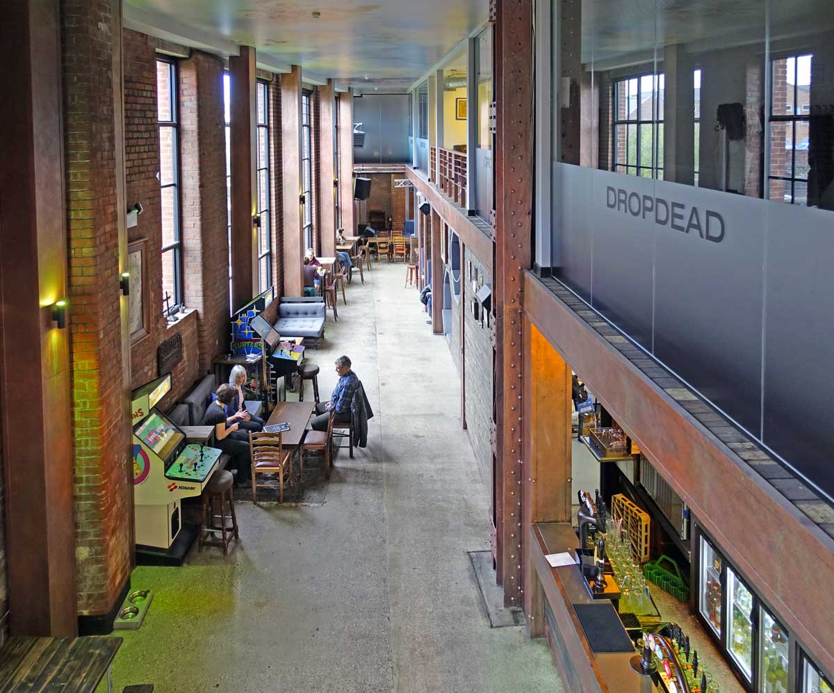
 |
| The entrance to the Kelham Island Industrial Museum, 2018. |
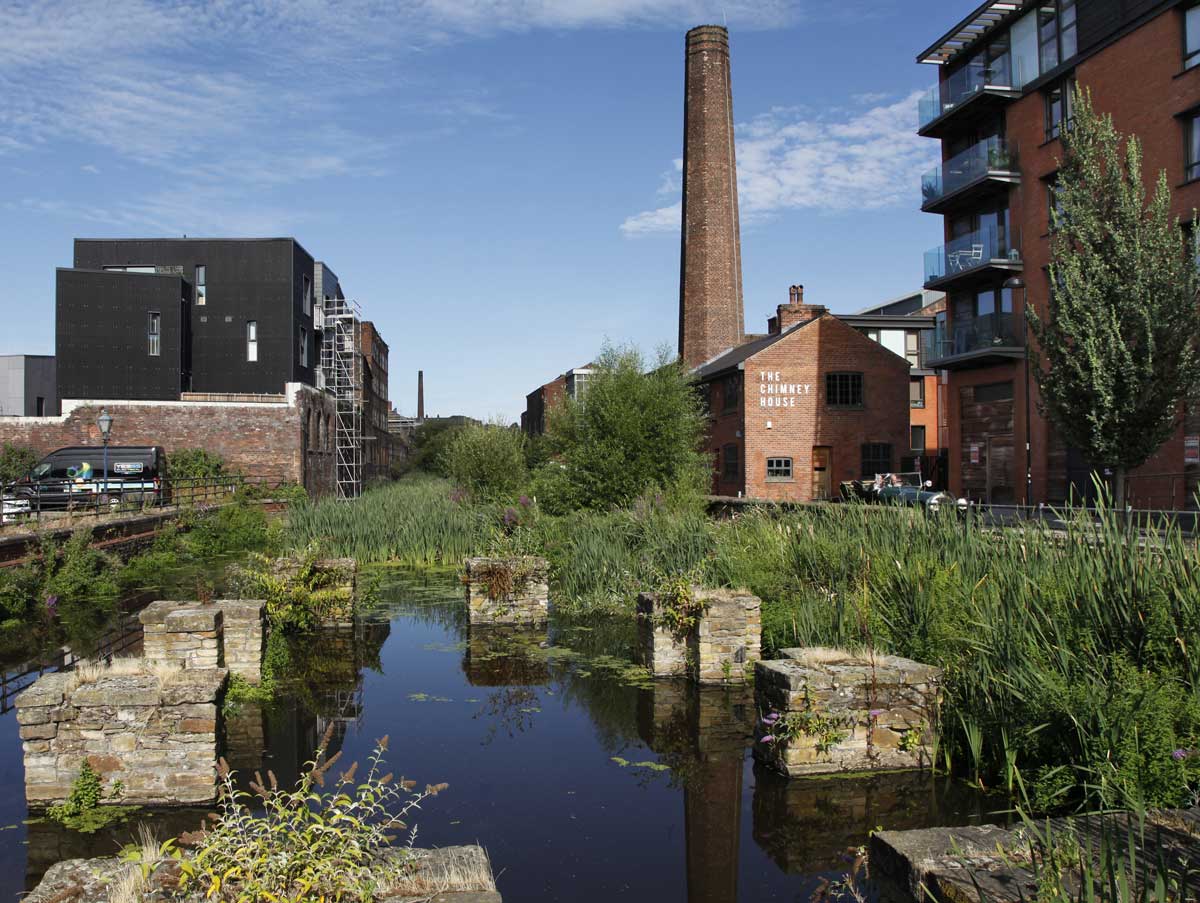
 |
| Looking upstream along the former Kelham mill race with the industrial museum to the right, 2018. |
 |
| Looking
upstream along the mill race in 2006. On the left are the buildings of
the former Britannia Mills; the site has subsequently been redeveloped
as Little Kelham. |
 |
| Looking down the mill race in 2006. The chimney to the left is part of the industrial museum. |
 |
| Starting construction on the City Wharf flat complex. Alma Street, 2008. |
 |
| The former Globe Works on Alma Street, 2018. |
*******
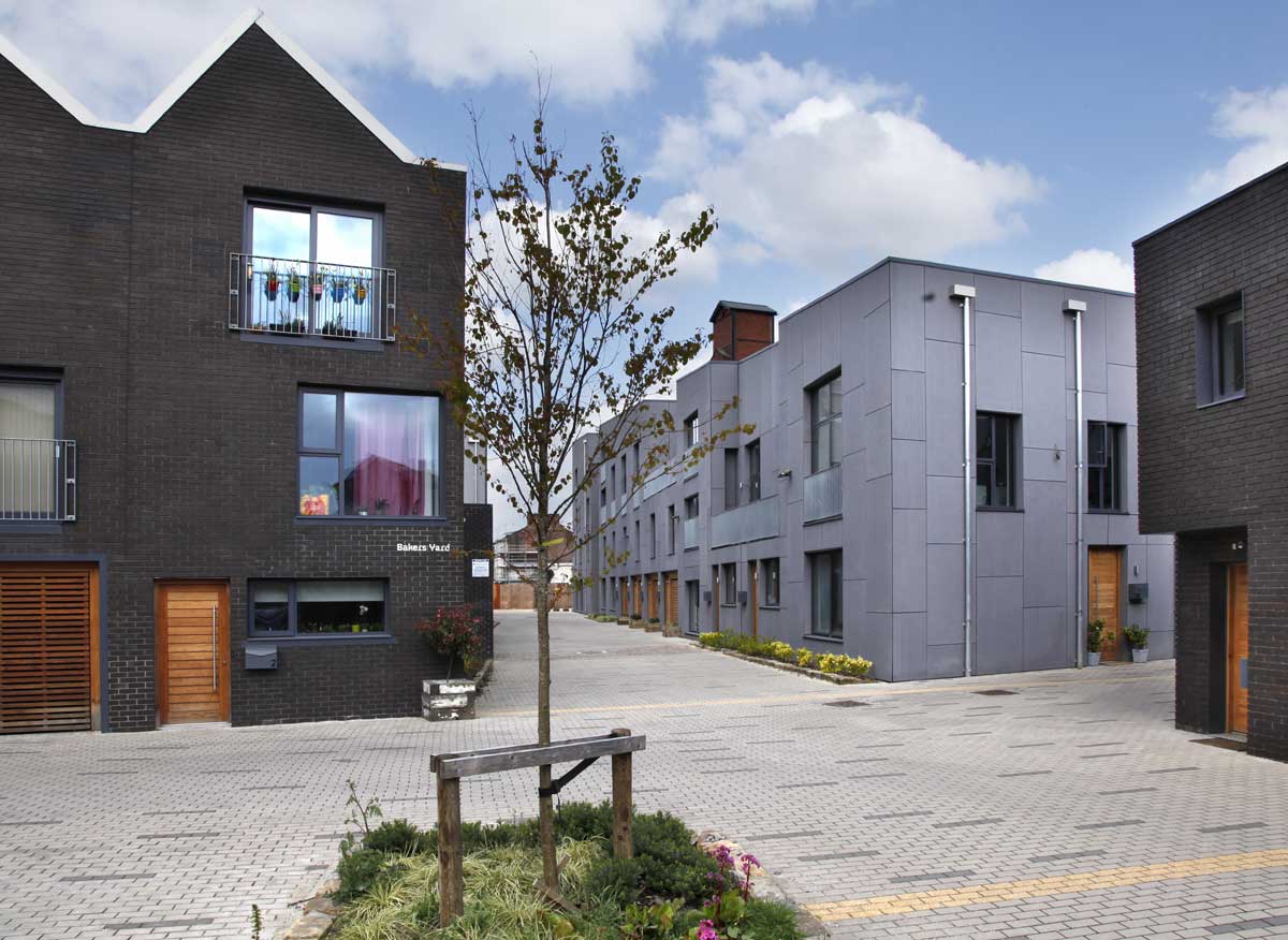
Little
Kelham is a housing development by Citu of energy efficient houses on
what was formerly a riverside industrial site occupied by Britannia
Mills and Eagle Works.
It
will eventually consist of 151 new build homes and a restored main
building of Eagle Works described by the developers as having 'towering
majesty'.
Work began in 2012 and continues April 2019.
 |
| Little Kelham, 2019 |
 |
| Little Kelham, 2019 |
 |
| Looking to the Little Kelham housing development with the newly built Cornwall Works in the foreground, 2019. |
 |
| Little Kelham from Green Lane, 2019. |
 |
Looking toward Little Kelham in 2016.
The river is behind the arches to the left and the prominent building is Eagle Works. |
*******
 |
| The former Wesleyan Chapel (built in 1823) with the construction of the apartments of Dun Works to the left. 2019. |
 |
| Green Lane in 2016. The site on the left awaits the building of another apartment block.. |
 |
| Green Lane in 2018. |
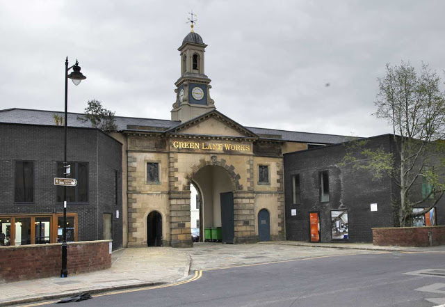 |
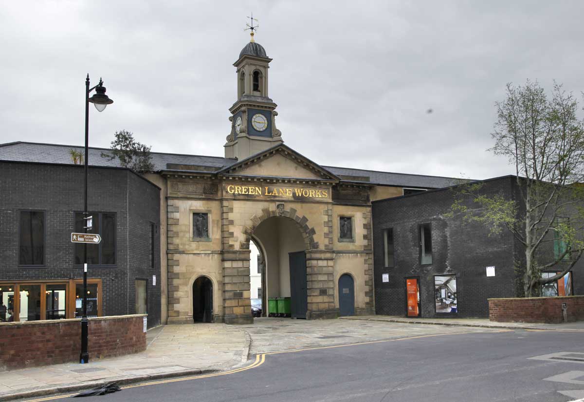
| The restored gatehouse of Green Lane works, 2019. |
 |
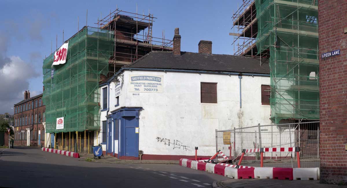
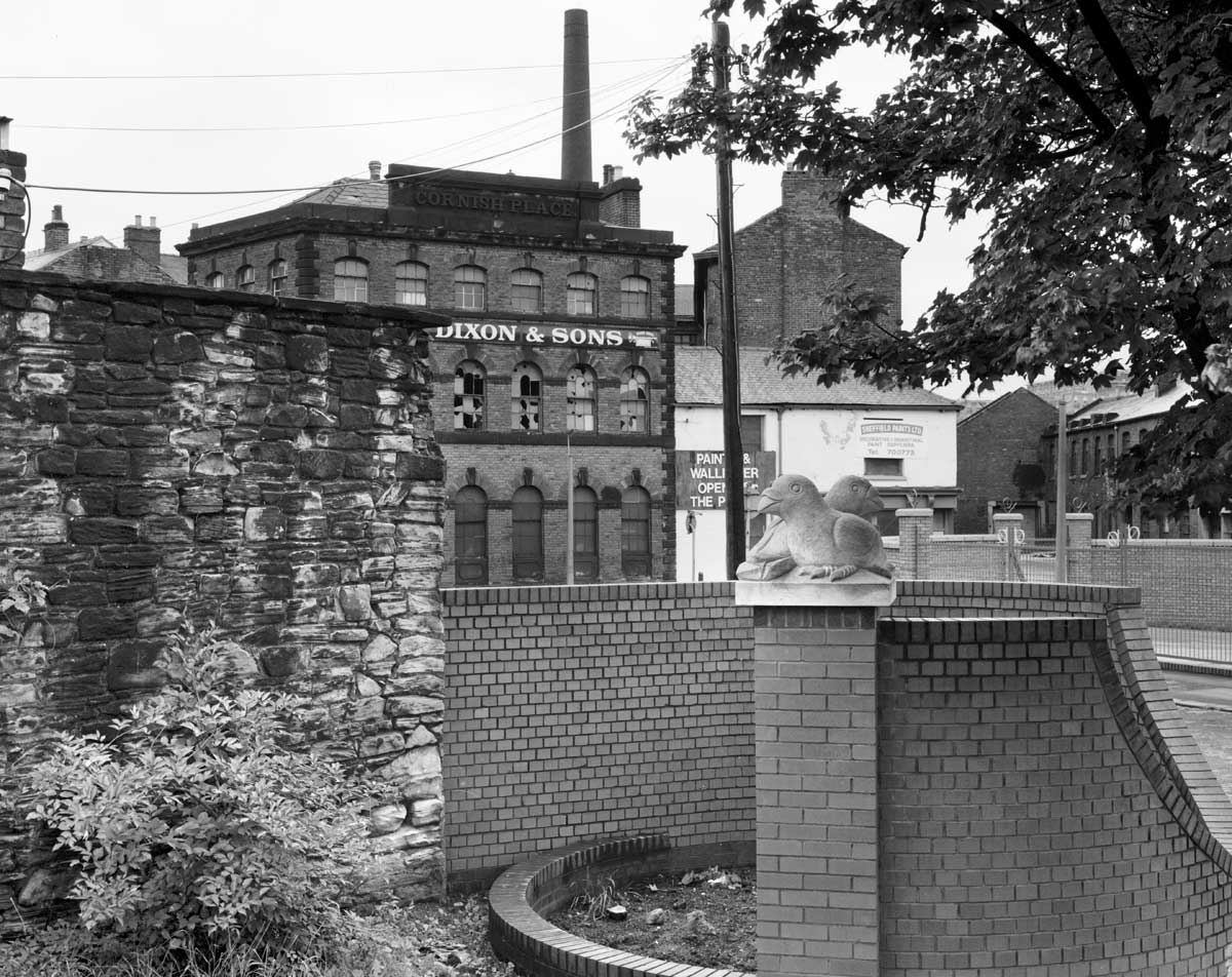
Green Lane circa 1995 with Cornish Place Works undergoing redevelopment.
The white rendered building was once The Ball pub and is now The Milestone bar and restaurant. |
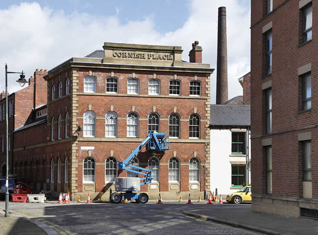 |
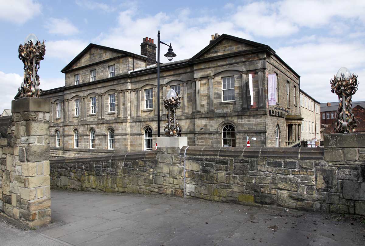
| The restored frontage of Cornish Place, 2016. |
 |
| Cornish Place Works in 1993. |
 |
| Globe Works, 2019. |
 |
Looking towards Cornish Place in 2006.
Extreme left the stonework belongs to Globe Works and centre left is Wharncliffe Works. |
 |
| Wharncliffe Works, on the right, circa 1993. |
 |
| Looking upriver circa 1993 with Cornish Place Works on the left. |
 |
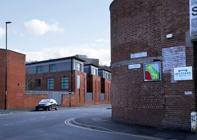
| A street market on Ball Street bridge June 2019. |
 |
| Ball Street, June 2019 |
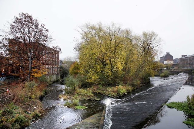 |
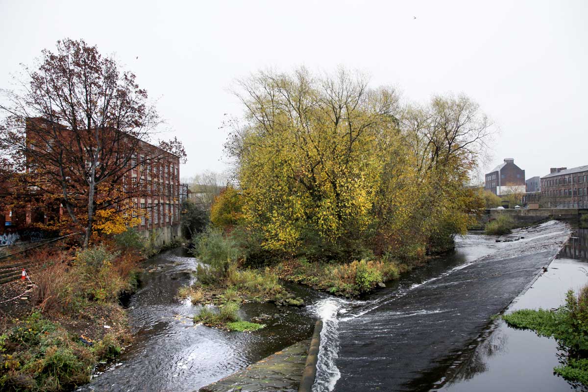
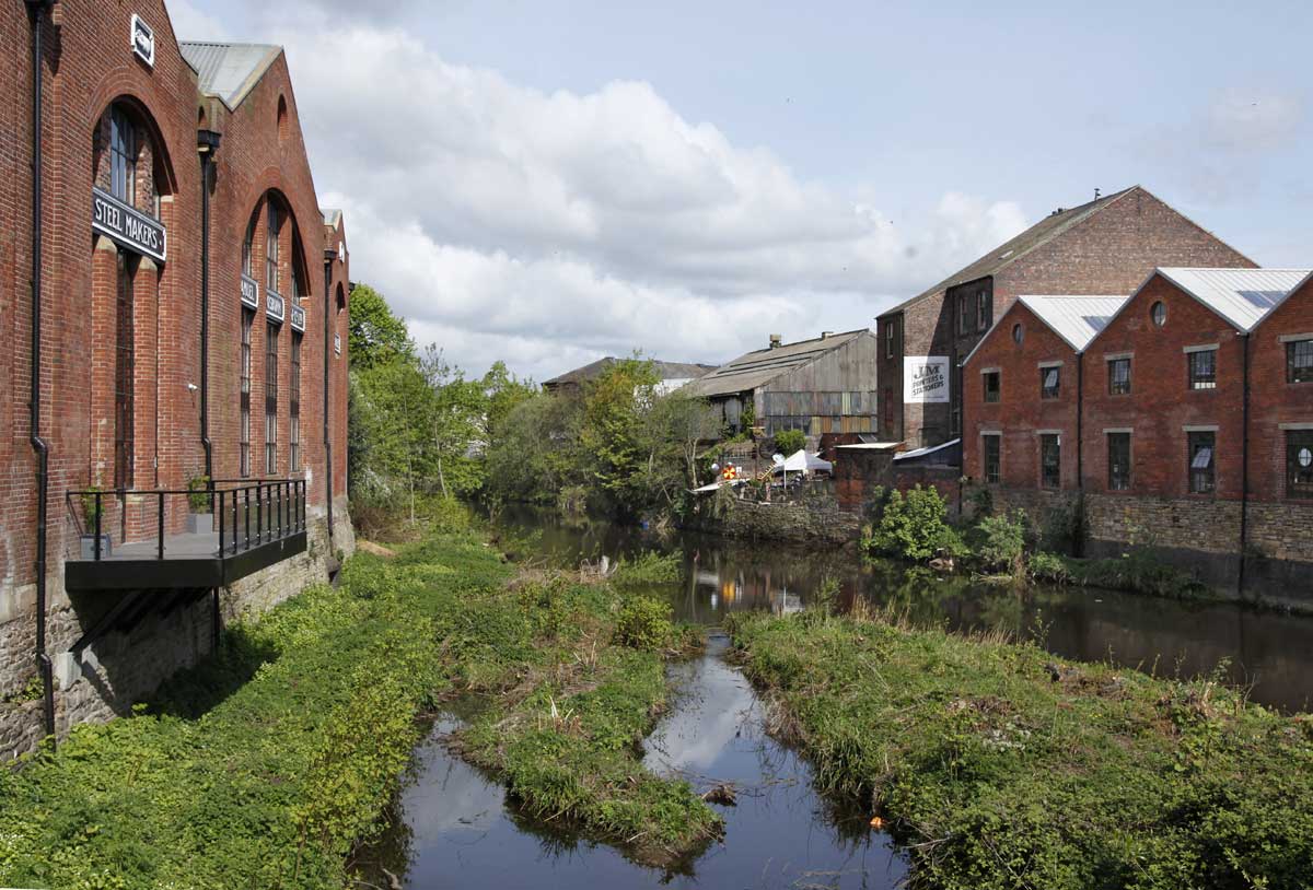
| Ball Street weir looking downstream to Kelham Island with the river to the left and Kelham mill race to the right. 2018. |
Retracing our steps (metaphorically) and looking at the eastern bank of the river...
 |
Looking from Riverside to Kelham May 2019.
The
path leads (left) to the iron bridge which is now recognised as being
of historic interest. In the centre of the image another block of
apartments is being built. The stone wall to the right once
retained the sidings of Bridgehouses railway station. The planting is
agapanthus. |
 |
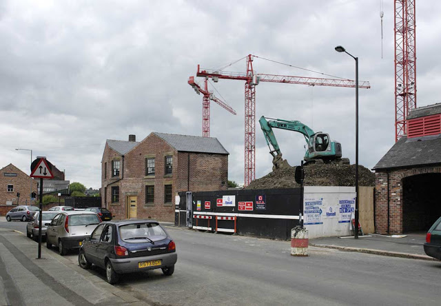
Concrete batcher on Mowbray Street, 2010.
Site cleared in 2018. |
 |
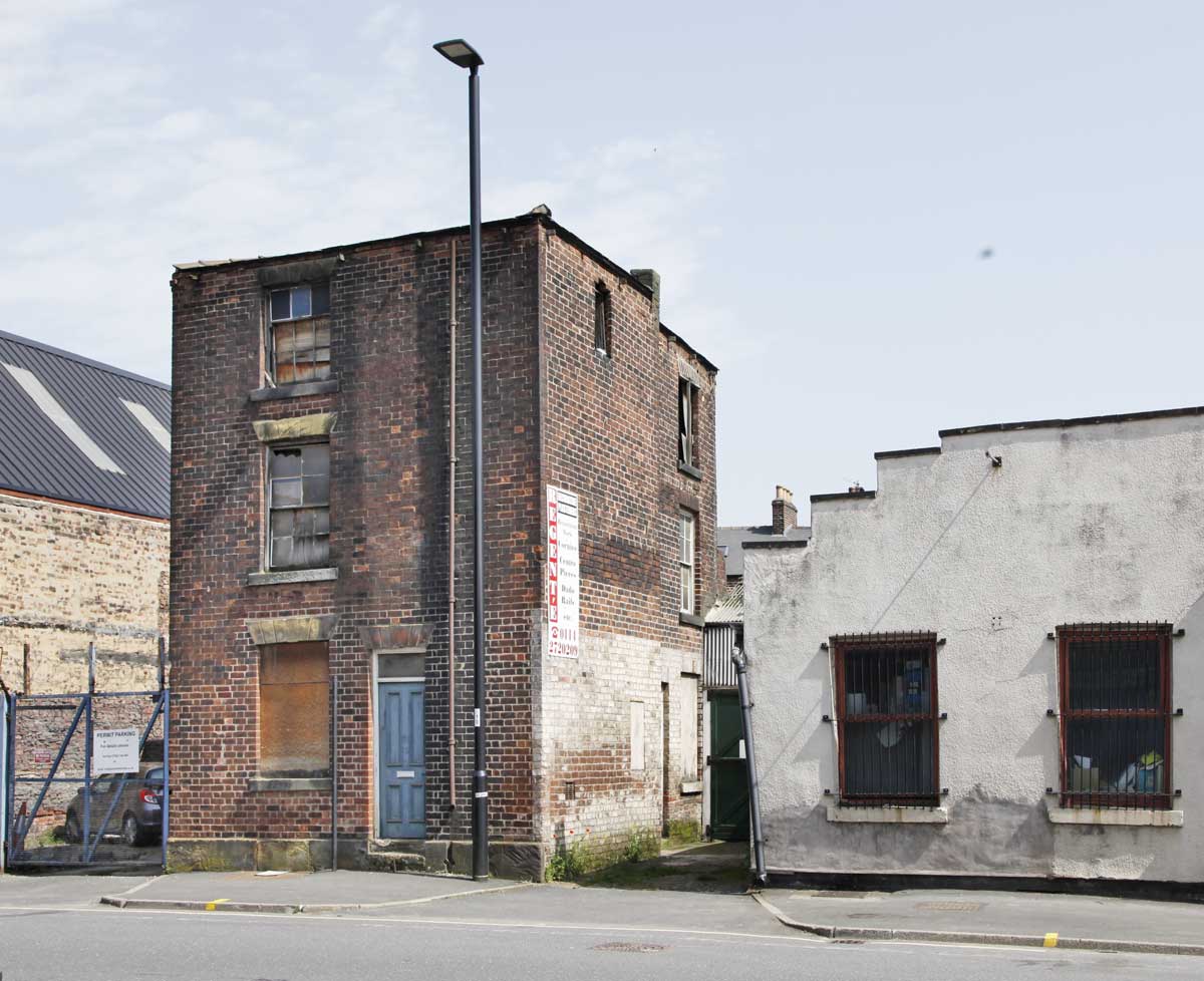
No.30 Mowbray Street
Built in the 1850s as a blind-back or back-to-back house. Listed but in danger of dereliction. |
 |
| No.30 Mowbray Street. |
 |
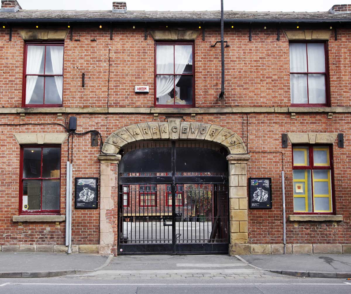
| The former Clarence Works on Burton street |
 |
| Signs of the times circa 1995. Neepsend Lane. |
 |
| Signs of the times 2019. Neepsend Lane. |
 |
| Lion Works on the right, 2019. |
*******
 |
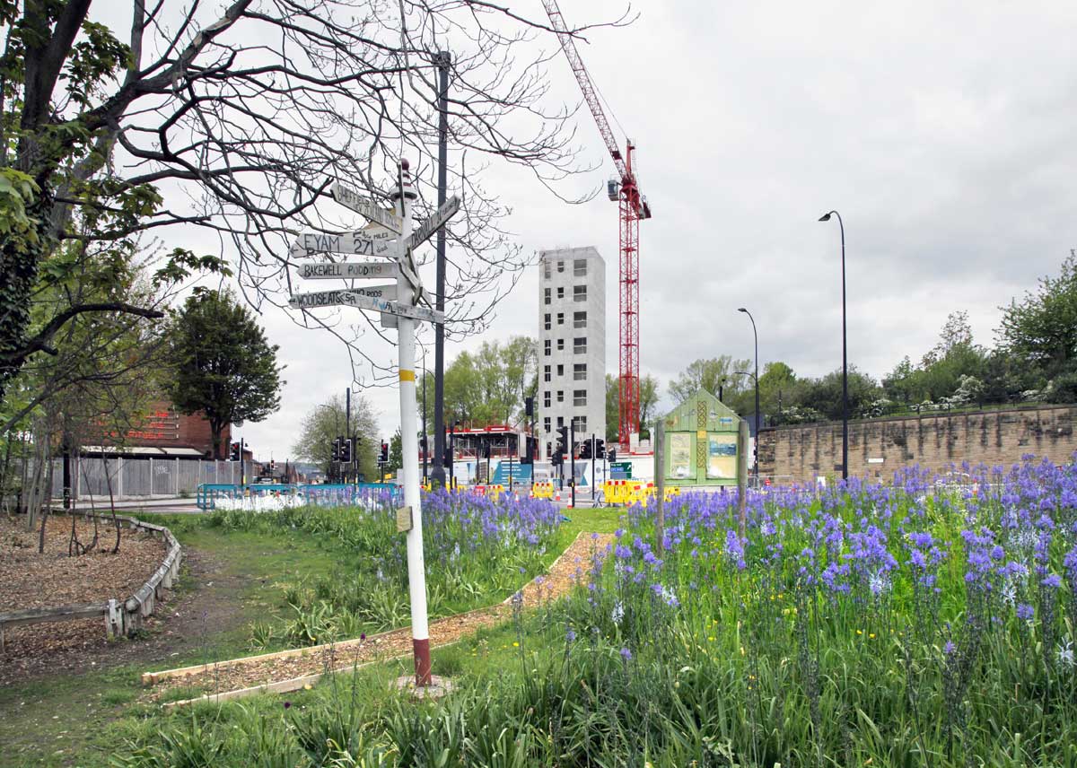
| The footpath from Bridgehouses to Woodside. Kelham lies to the left (west) side of the tracks. 2019. |
 |
| The
railway forms the boundary between Kelham and Woodside. This is the
Kelham side with the former railway coal drops behind the camera,
2018. |
 |
Woodside looking to Kelham the other side of the arch.
The
two areas are a world apart in terms of wealth with Woodside
having a great deal of public housing and the derelict Stanley Tools
factory. 2018. |
*******
The short distance to Rutland Road is technically Neepsend, not Kelham, but it makes sense to consider it here.
 |
| Neepsend Lane. |
 |
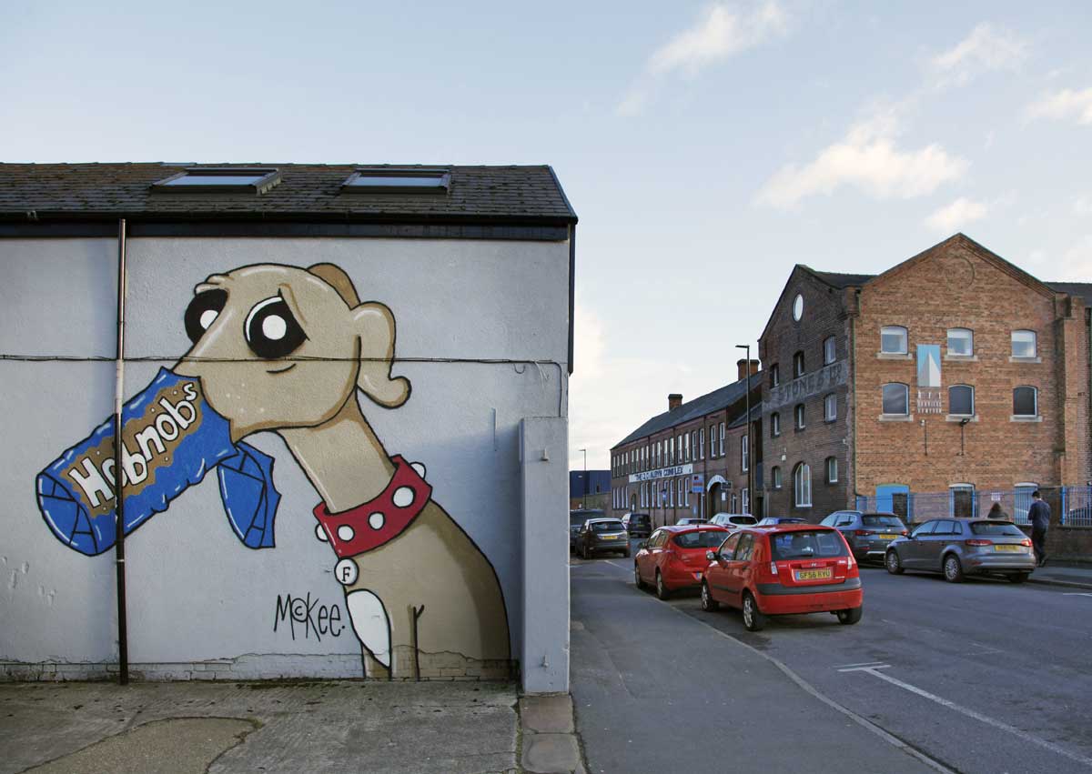
Albyn Works on Burton Road to the right.
Pete McKee graphics on the wall. |
 |
| Percy Street |
*******
 |
| Neepsend Lane at Rutland Road bridge, 2006. At this time the brewery was disused but not yet derelict and vandalised. |
 |
Albert Works (Regent Works) undergoing demolition 1982.
A Wickes store now occupies this site. |
 |
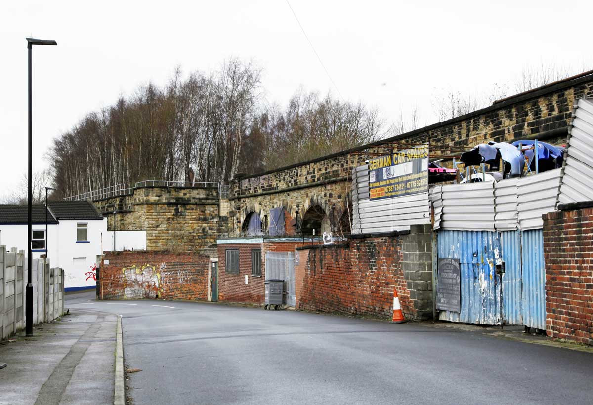
Looking over the Upper Don at Rutland Road bridge in 1983.
Insignia Works is on the far bank of the river. |
 |
Looking upstream from Rutland Road bridge, 2019.
To the left is Insignia Works and on the right bank is the former cutlery factory both now eating places. |
 |
Inside Insignia Works in 2018.
The building is now a clothes store and cafe. |
 |
| Insignia works seen across the river from the former cutlery factory, now a food hall. 2019. |
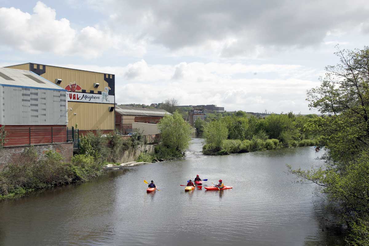
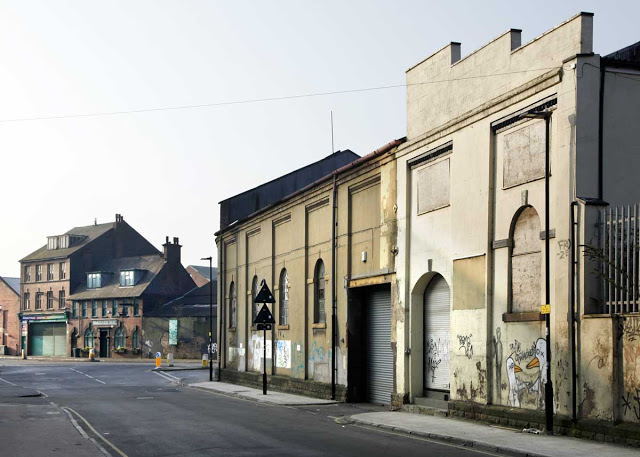
4.
Neepsend
Beyond
Rutland Road there is as yet no sign of the commercial and
residential developments that have so changed Kelham and Riverside,
although there are large brownfield sites that surely will not escape
attention for long.
Neepsend
is not precisely described but tends to be regarded as the east bank
of the river. Over the years it has been home to brewery, gas works,
power station, railway loco shed, brickworks and numerous metal trades
as well as a large landfill site. Some industry survives but much has
disappeared.
From
Rutland Road Bridge the walk takes you along Neepsend Lane to
Hillfoot Bridge where the path rejoins the riverbank to Wardsend
Cemetery.
*******
The Cannon Brewery of John Stones Ltd.on Rutland Road first registered
in 1895. It ceased operation in 1998 and has stood empty for two
decades. Given the developments in the area it seems unlikely to remain
standing for much longer.
 |
| The former brewery, 2019 |
 |
| The former brewery, 2017. |
*******
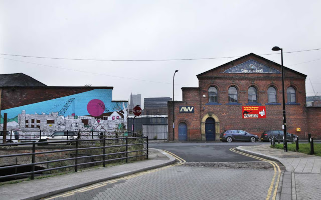
 |
Looking to Neepsend Lane from Bardwell Street with the former Hallamshire Steel buildings on the right.
The Gardeners Rest public house is on Neepsend Lane, its name reflecting the allotments of the nearby 'railway village'. (q.v.) |
 |
| Neepsend Lane. The Skatehouse. 2018. |
*******
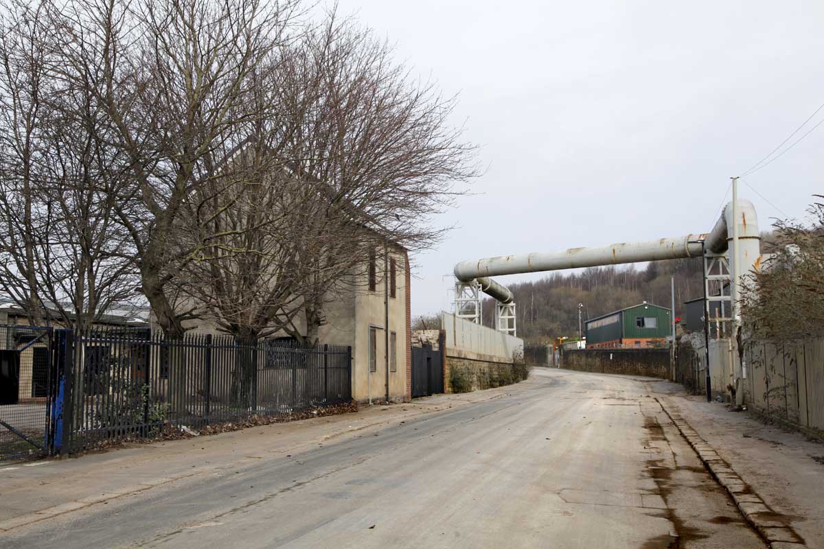
 |
Steelbank Wier, 2019.
A fish pass, to help salmon return to the river, has recently been built and is visible centre left of picture. |
 |
Hillfoot Bridge looking upstream, 2019.
The bridge was constructed in 1885 but the parapet, which is being repaired in this picture, was added in 1912.
The original bridge was carried away in the 1864 flood. |
*******
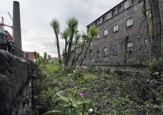
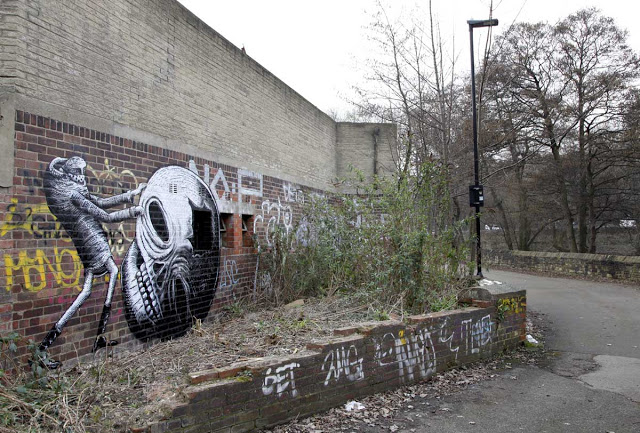 |
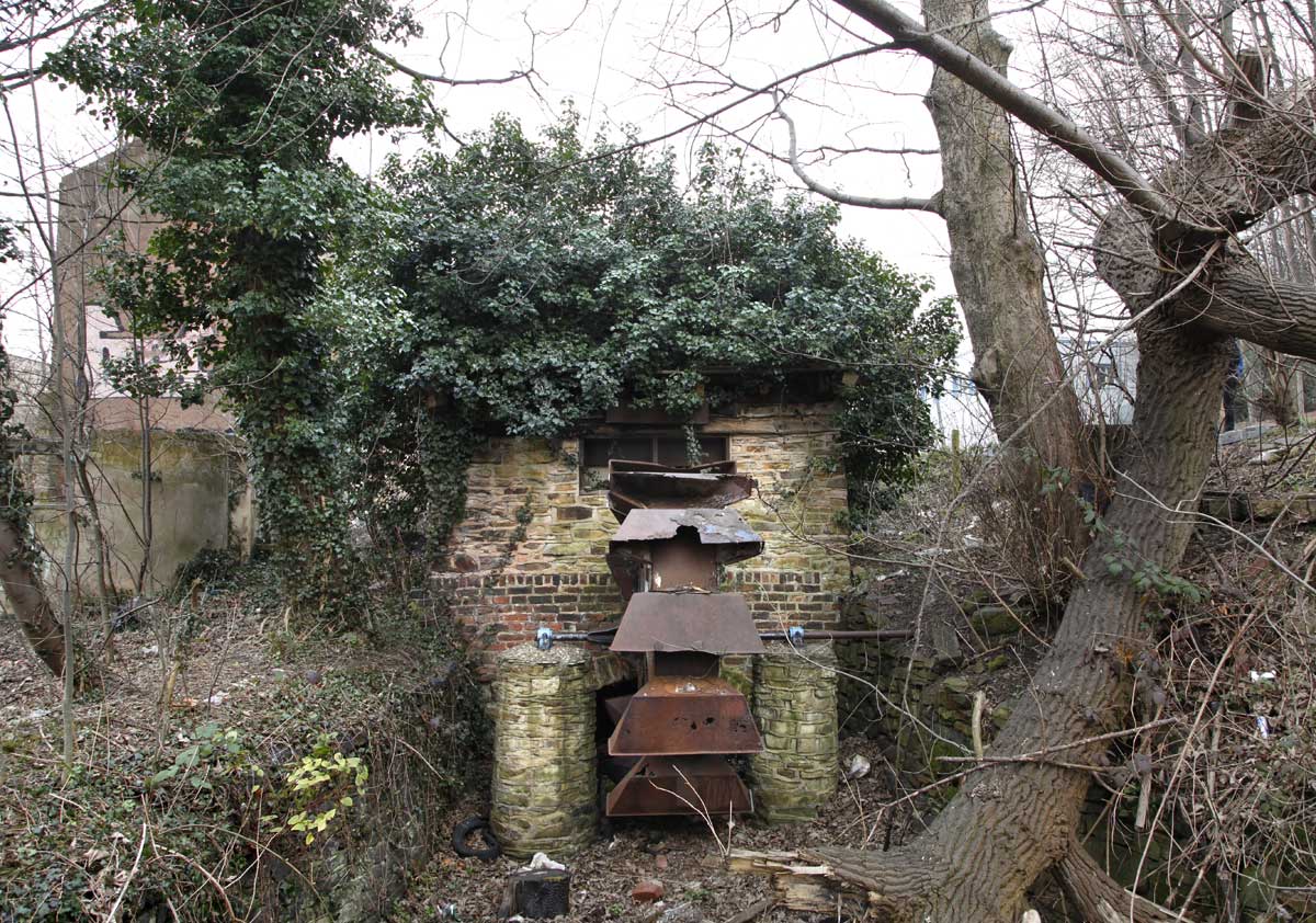
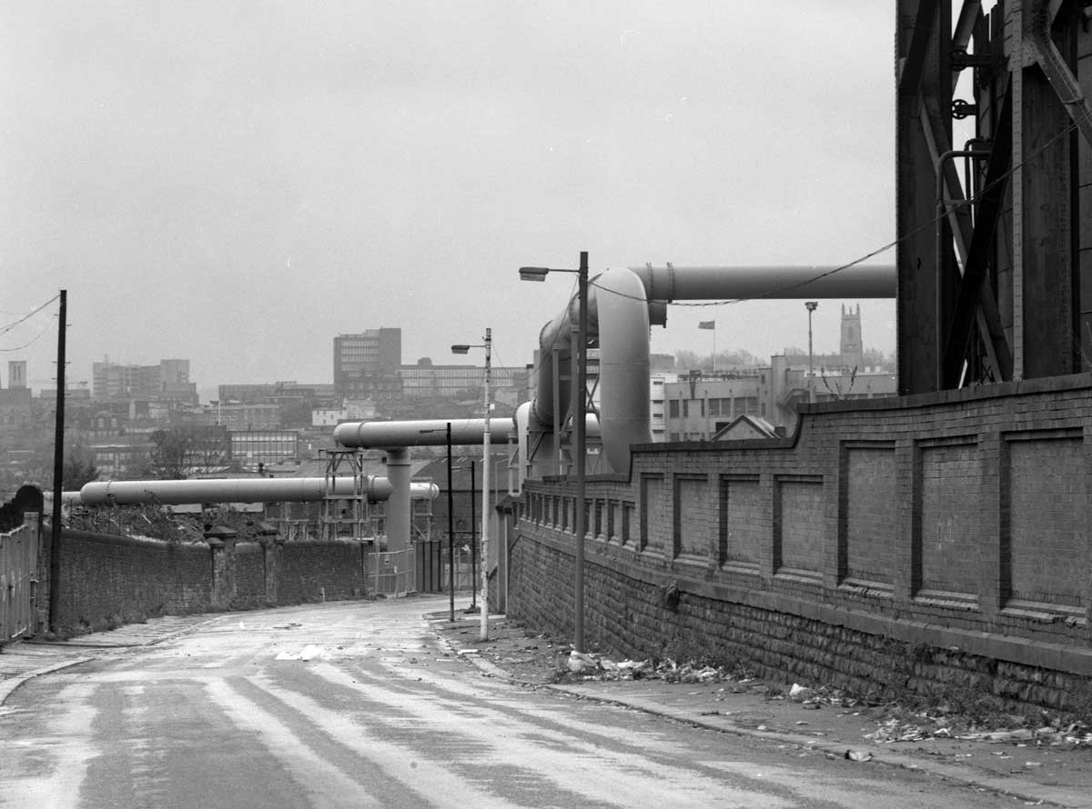
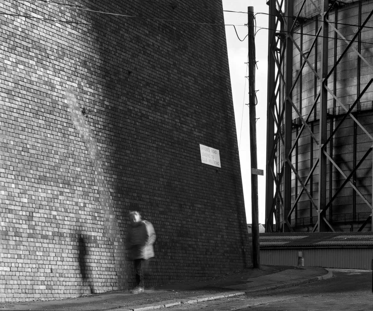
A recent (2019) piece of phlegm art on Club Mill Road.
The river is behind the wall on the right. |
 |
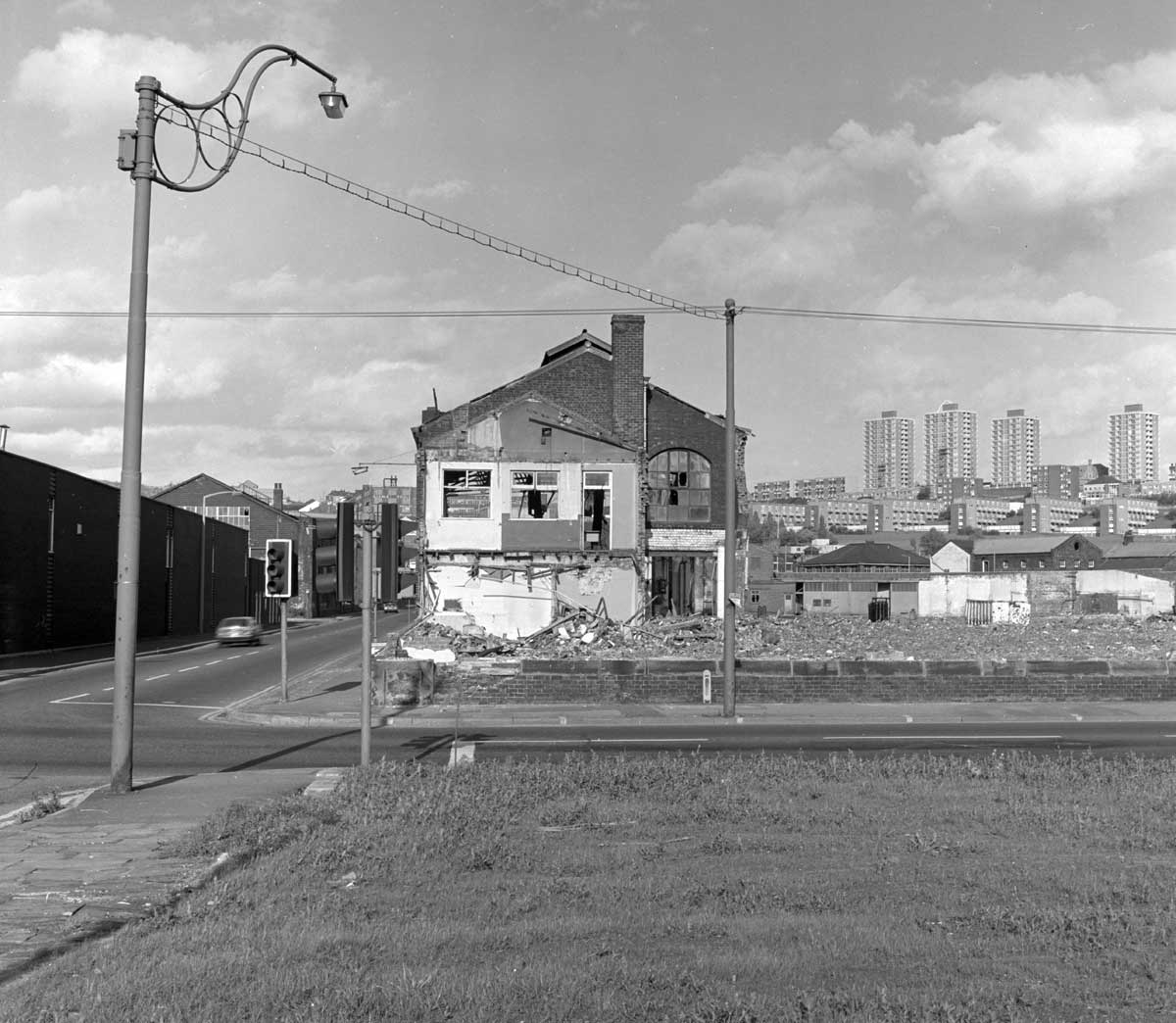
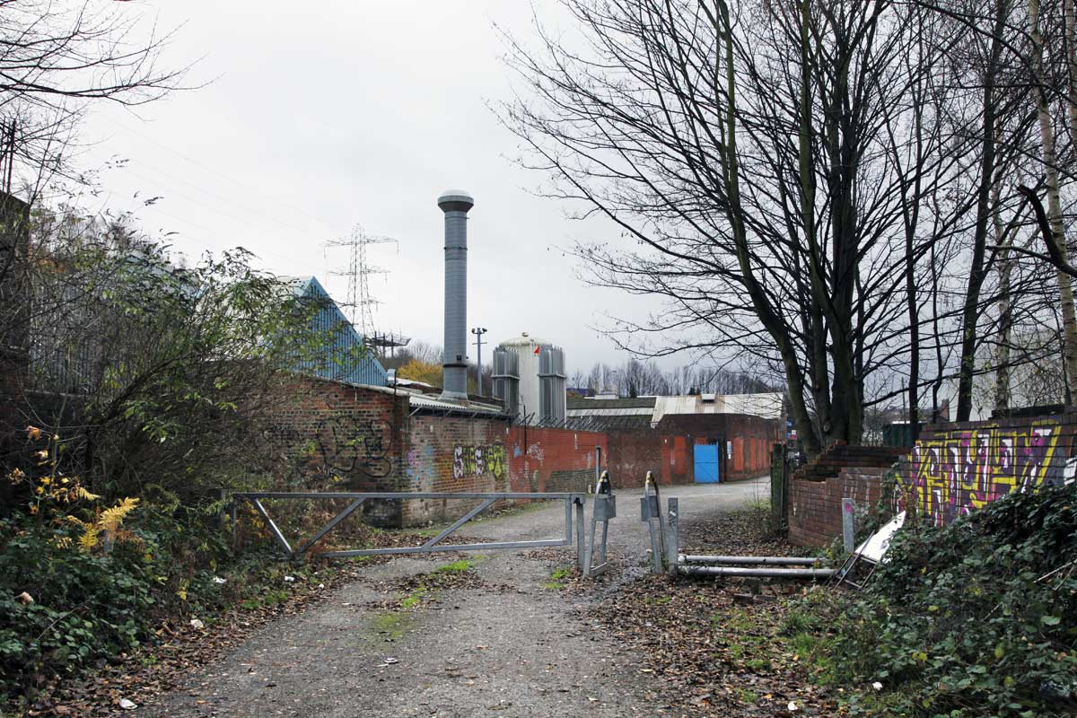
The Osborn-Mushet building shortly before demolition in 2008.
The site remains empty over a decade later. |
 |
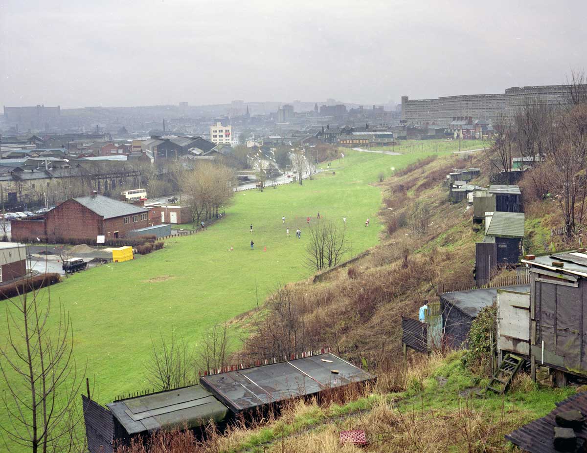
| The A61 near Hillfoot.in 1981. A dual carriageway now runs through this spot. |
*******
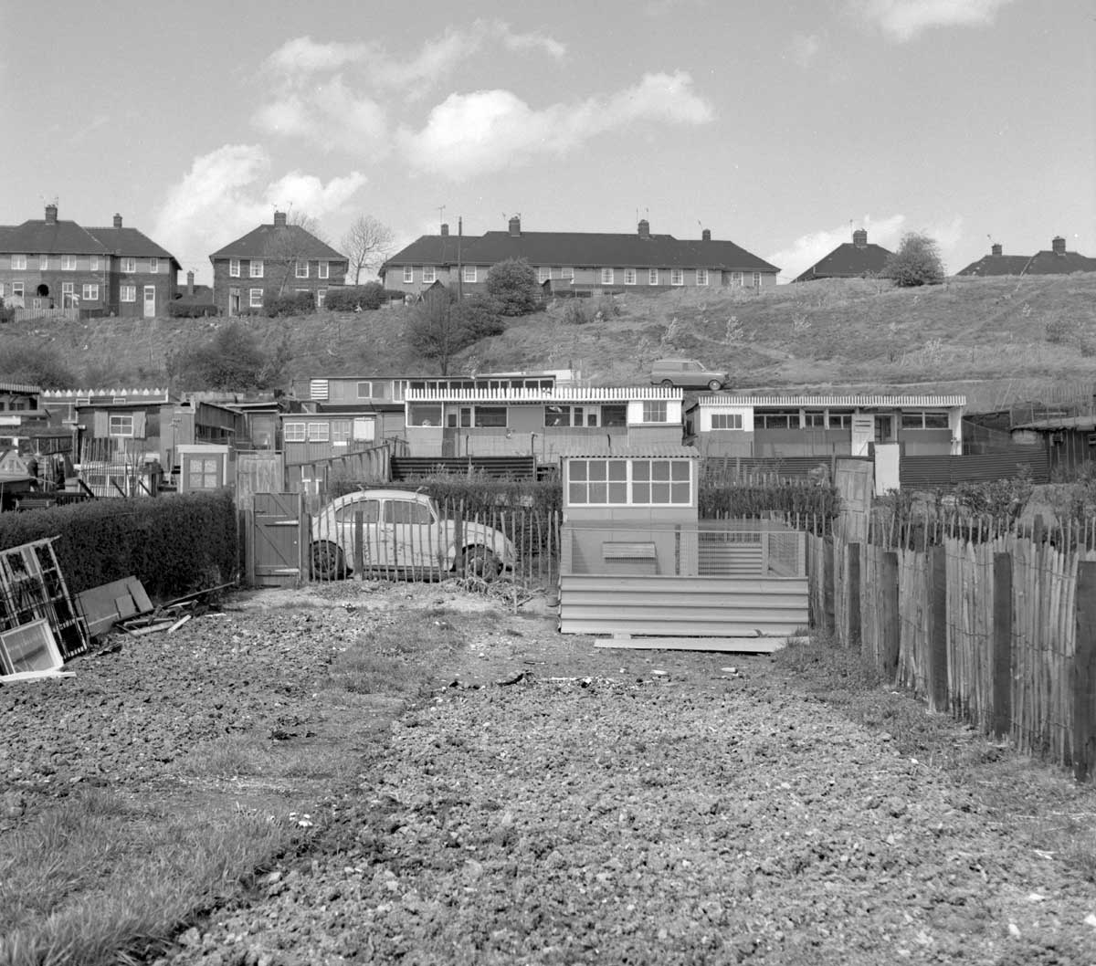
 |
Shirecliffe pigeon lofts, 1982.
(changed from Shirebrook, APO 16/3/22) |